Lower Wye Valley
004 Piercefield Park Ancient Woodland
HLCA 004 Piercefield Park Ancient Woodland
Ancient Woodland within Piercefield Park : relict Prehistoric defensive archaeology; Post-medieval industrial extractive and processing features (eg limekilns); ornamental leisure: parkland (ornamental walks and viewpoints); tourism; communication features; historic associations (Picturesque Movement); woodland management. Back to map
Historic Background
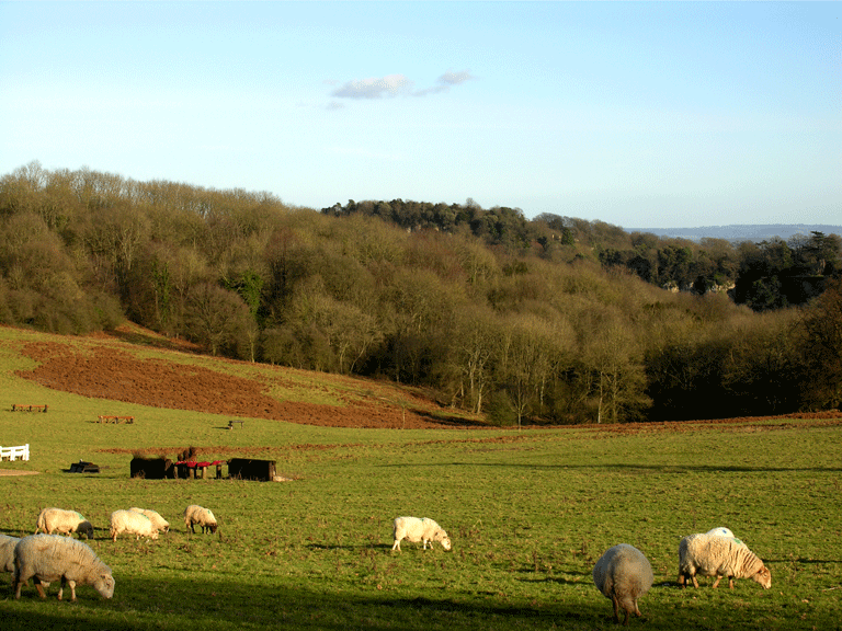
The historic landscape area of Piercefield Park Ancient Woodland represents an area of mixed semi-natural and ancient broad-leaved woodland interspersed with patches of scrub and unmanaged land on the banks of the River Wye. The area is located within the parishes of St Arvans, Chapel Hill and Chepstow.
The earliest evidence for activity within the area dates to the Iron Age; this is in the form of three earthwork features, hillforts, or defended enclosures. These are the scheduled Piercefield Wood Camps (SAM MM020, PRNs 00773g and 00772g) and Blackcliff Wood Camp (SAM MM027, PRN 00748g).
There is no further evidence for activity until the post medieval period, when the First Edition OS map (1882) shows a small quarry at Livox Farm, which later expanded to cover a large area encroaching on the neighbouring Livox Farm (HLCA 007) by the modern (2006) OS mapping.
From the 1740s boat trips were organised to allow the followers of the picturesque movement to view the dramatic scenery of the Wye and the 'romantic' remains of the Abbey at Tintern. Associated with this movement, Valentine Morris the Younger designed and laid out an extensive series of ornamental walks through the area for the benefit of himself, friends and visitors to the woods between 1752 and 1772, with the assistance of Richard Owen Cambridge. The bulk of the walks lie along the western banks of the River Wye linking Piercefield to Chepstow and a point approximately three miles south of Tintern and were designed by Morris to be tackled on a north to south route. Following Morris's departure in 1772 the walks were on occasion open to the public, though by 1781 were in a state of disrepair. Major improvements were made to the estate in general, and to the walks in particular from 1794 under the occupancy of Colonel Wood. During the nineteenth century, apart from the addition of the 365 steps by the Duke of Beaufort in 1828, little change was made to the estate or the walks, and by 1850 the walks had again fallen into disrepair and had been closed to the public. In 1926, Henry Hastings Clay sold the estate, along with the Piercefield Ancient Woodland, to the Chepstow Racecourse Company. The woodland is currently being managed for its conservation and historic interest.
Historic Landscape Characteristics
Piercefield Park Ancient Woodland is characterised as an area of ancient woodland that runs along the west riverbank of the River Wye; the forestry/woodland here is largely made up of ancient broad-leaved woodland and areas of scrub or unmanaged land on the riverbank.
The area is also characterised by prehistoric defended settlements or hillforts, including the two Piercefield Wood Camps (PRNs 00773g and 00772g; SAM MM020) and Blackcliff Wood Camp (PRN 00748g; SAM MM027), all of which are Scheduled Ancient Monuments. These defended sites, which include both uni- and multi-vallate defences, are considered to belong to the Iron Age, though occupation may have started during the Bronze Age and have lasted into the Roman period, with the possibility of re-occupation/continuity into the early medieval period; without detailed survey or excavation little information is available.
An important element characteristic of the area is industrial archaeology; extractive activity in the form of quarrying, mining, and gravel extraction is much in evidence. The largest quarry in the area is Livox Quarry (PRN 07060g), which has been present in mapping from at least the 1882 First Edition OS map whilst a further four quarries and/or extraction pits have been identified (PRNs 07128g, 07132g, 07071g and 07073g), and an ironstone mine (PRN 00753g). Limekilns in association with the quarries are also characteristic of the area; at least two limekilns, one of which is a Scheduled Ancient Monument (PRNs 05340g, and 07070g/SAM MM291) have been noted in the area.
Leisure activities, more specifically tourism, also make up an important characteristic of this area. There is a strong link between the leisure activity characteristic and communication routes, another key characteristic; this link takes the form of walking routes popularised by the picturesque movement during the latter half of the eighteenth century. The area as a result is rich in important literary and historic associations closely related to the picturesque movement. Valentine Morris the Younger, with the assistance of Richard Owen Cambridge, landscaped much of the parkland here between 1752 and 1772; these works included the construction of a series of walks and viewing platforms, namely the 'Piercefield parkland and Wyndcliffe walks'. Piercefield became a major attraction on the Wye Tour initially popularised from 1745 by Revd Dr John Egerton of Ross, and later by William Gilpin who, following a boat trip down the Wye in 1770, wrote his influential Observations on the River Wye (published 1782), further expounding the romantic qualities of the scenery of the Wye Valley. Early admirers of the area included William Shenstone, Count Alexsey Pushkin (the Russian ambassador), and Sir Joseph Banks, who visited in 1767. Tourism in this character area and throughout the wider Wye Valley grew during the late eighteenth and the early part of the nineteenth century; visitors were able to take pleasure boats operating along the river below this area and walk the routes set out by Morris through the Piercefield estate.
Characteristic picturesque viewpoints and features survive, mostly as level platforms extending from the path, and include, from the south, The Alcove (a seat and railings), The Platform (a stone platform and railings), The Grotto (a stone alcove, the inner lining of spar and other minerals has gone) above Pierce Wood, The Double View, Halfway Seat, The Druid's Temple (a few upright stones remain), The Giant's Cave (a tunnel through the rock), a seat near two beeches, Lovers' Leap and the Temple (site of, demolished c.1800). Contemporary visitors mention a Chinese seat, but this has now disappeared. Also of note are the steps, which extend from the top of Wyndcliff to the new Tintern Road, known as the 365 steps; these were constructed in 1828 at the behest of the Duke of Beaufort by his steward Osmond Wyatt. This precipitous and partly rock-cut winding path has been recently restored.
Near the top is the spectacular Eagle's Nest viewpoint, a semi-circular platform with a low stone parapet topped by iron railings. At the foot of the steps stood Moss Cottage, a thatched cottage ornée with Gothic windows and stained glass; this was demolished during the twentieth century.
The area's ancient semi-natural woodland, mostly beech, yew, small-leaved lime, large-leaved lime, and in places, several species of whitebeam, has indications of relict coppice and some standards, on the less precipitous slopes.