The Historic Landscape Character Areas (HLCAs)
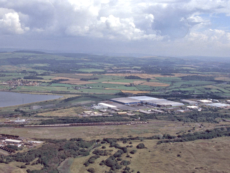
HLCA 001 South Wales Main Line (Great Western and Port Talbot Railways) and Newlands Loop Rail Corridor
Communication corridor: rail. Back to Map
Click here for further information about this Historic Landscape Character Area
Click here for a character area map
HLCA 002 Margam Moors
Reclaimed and enclosed salt marsh wetland pasture; medieval/post-medieval fields and former medieval monastic grange land, varied field pattern with typical ridge and furrow, earth bank and drainage features. Back to Map
Click here for further information about this Historic Landscape Character Area
Click here for character area map
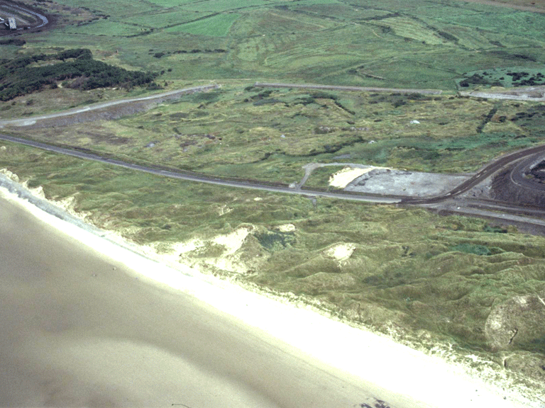
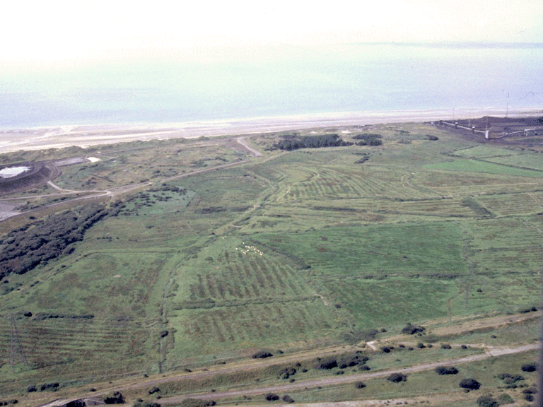
HLCA 003 Margam Burrows
Coastal sand dunes, with recent industrial intrusion; medieval warren; 20th century military/defensive landscape. Back to Map
Click here for further information about this Historic Landscape Character Area
Click here for character area map
HLCA 004 Kenfig Burrows
Unenclosed burrows; buried archaeology: medieval settlement/fields, ie be-sanded Kenfig, military/defensive: Kenfig Castle; associated medieval ecclesiastical features; post-medieval rabbit warren; characteristic field boundaries; prehistoric find scatters; communications corridor; historic associations. Back to Map
Click here for further information about this Historic Landscape Character Area
Click here for character area map
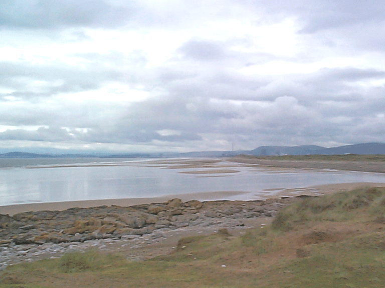
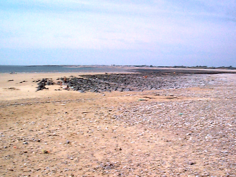
HLCA 005 Margam and Kenfig Sands
Present-day intertidal zone; intertidal features: post-medieval wrecks; buried archaeology: prehistoric - post-medieval find scatters; modern industrial/military structures; historic associations.Back to Map
Click here for further information about this Historic Landscape Character Area
Click here for character area map
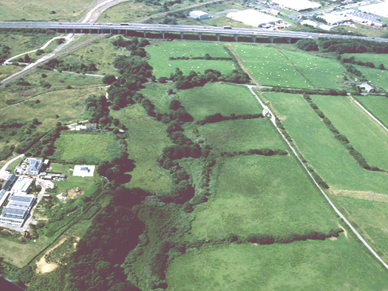
HLCA 006 River Kenfig and Llanmihangel
Agricultural landscape of post-medieval settlement/fields with surviving relict medieval features associated principally with monastic grange of Llanmihangel (St Michael's); distinctive field boundaries; Ancient and other broadleafed woodland; post-medieval vernacular buildings; historic associations.Back to Map
Click here for further information about this Historic Landscape Character Area
Click here for character area map
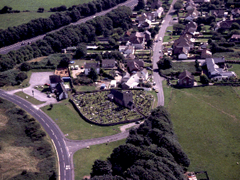
HLCA 007 Kenfig and Mawdlam
Post-medieval settlement and agricultural landscape with medieval precursor; medieval and post-medieval fields; distinctive boundaries; ribbon development settlement pattern; post-medieval vernacular buildings; ecclesiastical features; communications: footpaths, tracks and straight lanes; historic associations. Back to Map
Click here for further information about this Historic Landscape Character Area
Click here for character area map

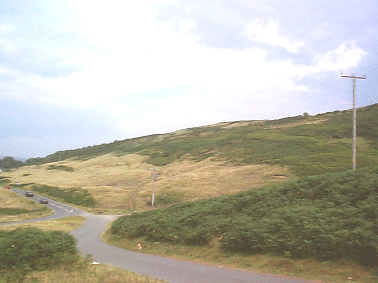
HLCA 008 Kenfig Golf Course
Open area of stabilised sand dunes; recreational use - managed and in use as golf course; buried archaeology; communications. Back to Map
Click here for further information about this Historic Landscape Character Area
Click here for character area map
HLCA 009 Sker
Medieval/post-medieval agricultural landscape; distinctive field boundaries; relict and buried archaeology, primarily prehistoric funerary and ritual; ecclesiastic: medieval monastic grange; medieval/post-medieval vernacular architecture; historic associations. Back to Map
Click here for further information about this Historic Landscape Character Area
Click here for character area map
HLCA 010 Sker Point to Porthcawl Point
Coastal and intertidal zone; unenclosed common; intertidal features; historic associations; minor communications and distinctive boundaries. Back to Map
Click here for further information about this Historic Landscape Character Area
Click here for a character area map
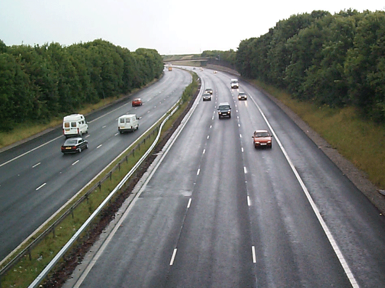
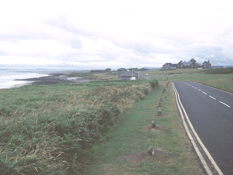
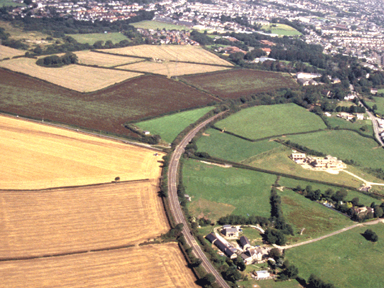
HLCA 011 M4 Motorway Corridor
Major road transport corridor; civil engineering: road and motorway bridges. Back to Map
Click here for further information about this Historic Landscape Character Area
Click here for character area map
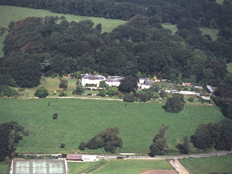
HLCA 012 Merthyr Mawr
Post-medieval gentry estate: house, parkland and garden, and associated estate village; varied settlement pattern; post-medieval vernacular, picturesque and polite estate architecture; post-medieval agricultural landscape; distinctive field boundaries; relict prehistoric and medieval settlement/fields. Back to Map
Click here for further information about this Historic Landscape Character Area
Click here for character area map
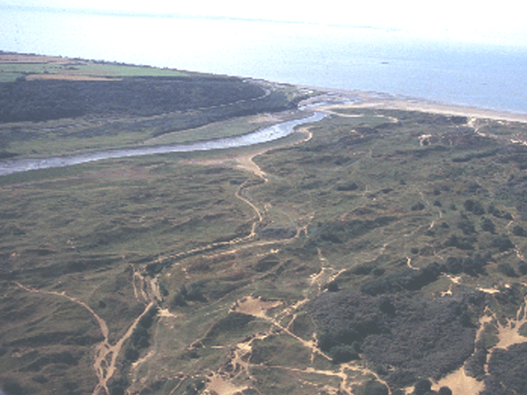
HLCA 013 Merthyr Mawr Warren
Nationally important unenclosed be-sanded landscape; multi-period and multi-functional landscape; post-medieval rabbit warren. Back to Map
Click here for further information about this Historic Landscape Character Area
Click here for character area map

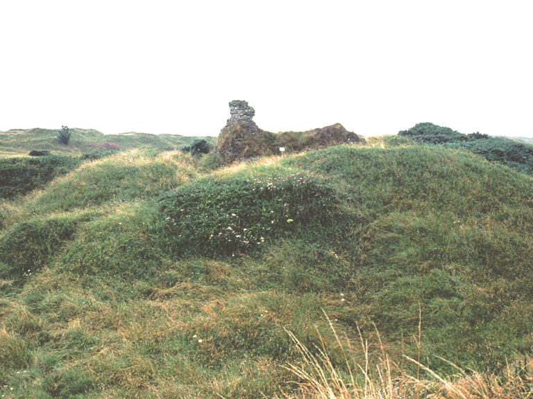
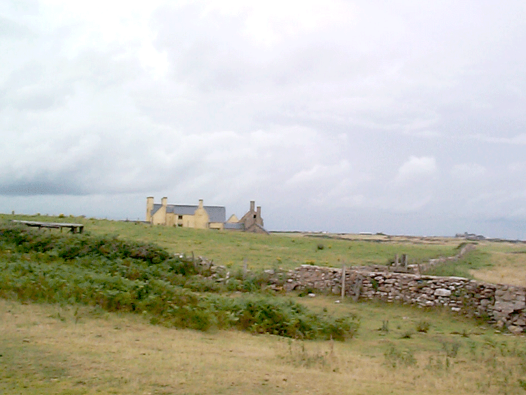
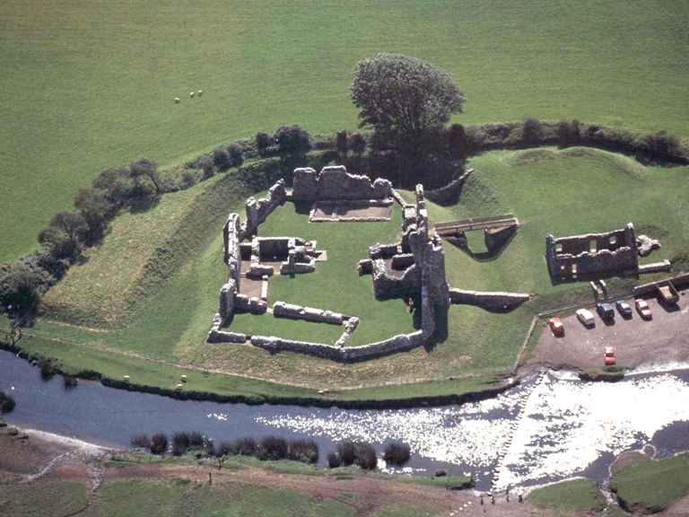
HLCA 014 Candleston
Manorial centre of Candleston Castle set within an area of mixed agricultural and wooded landscape (including Ancient Woodland) on the fringe of Merthyr Mawr Warren; relict archaeology: medieval and post-medieval settlement/fields (including fortified manor); buried archaeology; historic associations. Back to Map
Click here for further information about this Historic Landscape Character Area
Click here for character area map
HLCA 015 Newton Point to Black Rocks, Ogmore-by-Sea
Intertidal zone at mouth of Ogmore River (Aberogwr); relict archaeological intertidal features. Back to Map
Click here for further information about this Historic Landscape Character Area
Click here for character area map
016 Ogmore Down
Unenclosed common; recreational open space; Ancient and other broadleafed woodland; with a small multi-period relict archaeological landscape element with communication features. Back to Map
Click here for further information about this Historic Landscape Character Area
Click here for character area map
017 Ochr Draw and Island Farm
Largely post-medieval agricultural landscape, with evolved but fairly regular field pattern and distinctive boundaries; post-medieval agricultural settlement; communications corridor including line of Roman road (Caerleon-Loughor) and public/industrial rail. Back to Map
Click here for further information about this Historic Landscape Character Area
Click here for character area map
018 Ogmore
Nucleated-organic shrunken settlement and medieval ringwork/stone castle strategically located within agricultural/floodplain landscape with enclosures of medieval or earlier origin; buildings of architectural interest; multi-period relict archaeological landscape including prehistoric promontory fort and medieval ecclesiastical features Ancient and other braodleafed woodland; communication corridor and historic associations. Back to Map
Click here for further information about this Historic Landscape Character Area
Click here for character area map