Merthyr Mawr, Kenfig and Margam Burrows
002 Margam Moors
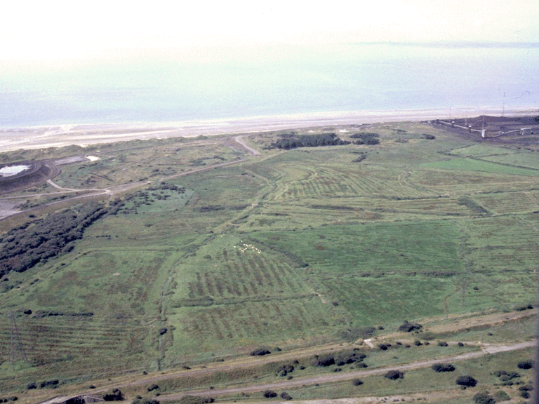
HLCA 002 Margam Moors
Reclaimed and enclosed salt marsh wetland pasture; medieval/post-medieval fields and former medieval monastic grange land, varied field pattern with typical ridge and furrow, earth bank and drainage features. Back to Map
Historic Background
The historic landscape area of Margam Moors comprises an area of low-lying reclaimed wetland at heights of between 4.5m and 5m OD, largely within the Margam Moors SSSI. Part of the holdings of the Cistercian Abbey of Margam during the medieval period; the area probably farmed from Morfa Mawr Grange just to the west beyond the boundary of the Historic Landscape, at the site of the later post-medieval farm (itself demolished 1976). Two other monastic granges associated with Margam are also known for the area, New Grange (or Middle Burrows Grange) and Theodoric's Grange. The strong association with Margam Abbey indicates a likelihood that the reclamation of much of the coastal strip dates to at least the medieval period.
Historic Landscape Characteristics
Margam Moors/Morfa Margam is characterised as low-lying enclosed wetland pasture set on reclaimed salt marsh. The characteristic features of the area are associated with post-medieval fields, probably of medieval origins, typically varied field pattern, including evolved/irregular and small and large regular enclosures. Boundary features comprise ridge and furrow, earth bank and drainage ditches, dykes such as the Lower Mother and the Middle Mother Ditches. Other characteristics include local communication features, such as footpaths, tracks and straight lanes.