Merthyr Mawr, Kenfig and Margam Burrows
015 Newton Point to Black Rocks, Ogmore-by-Sea
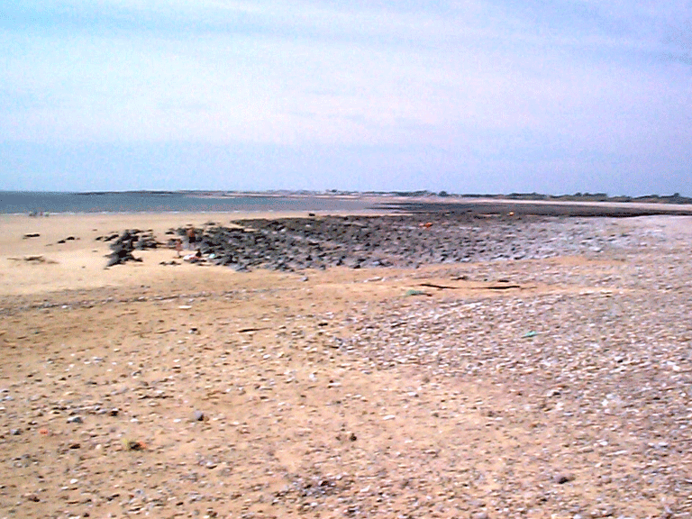
HLCA 015 Newton Point to Black Rocks, Ogmore-by-Sea
Intertidal zone at mouth of Ogmore River (Aberogwr); relict archaeological intertidal features. Back to Map
Historic Background
The historic landscape area of Newton Point to Black Rocks, Ogmore-by-Sea comprises the intertidal zone at mouth of Ogmore River (Aberogwr). Documentary references hint at a traditional river harbourage site near Merthyr Mawr during the late medieval/early post-medieval period, specifically a cartographic reference to duties being collected from boats along the north bank of the River Ogmore, just down stream of the confluence of the Ewenny and Ogmore Rivers (Map of 1601: South Wales and Monmouthshire Record Society publication no. 1).
Historic Landscape Characteristics
Newton Point to Black Rocks, Ogmore-by-Sea is characterised as intertidal zone at mouth of Ogmore River (Aberogwr), characterised by intertidal features, including fording places, sea defences, and late medieval/early post-medieval harbourage, the post-medieval bathing house of Ty-Coch, formerly considered to be a salthouse.