Merthyr Mawr, Kenfig and Margam Burrows
016 Ogmore Down
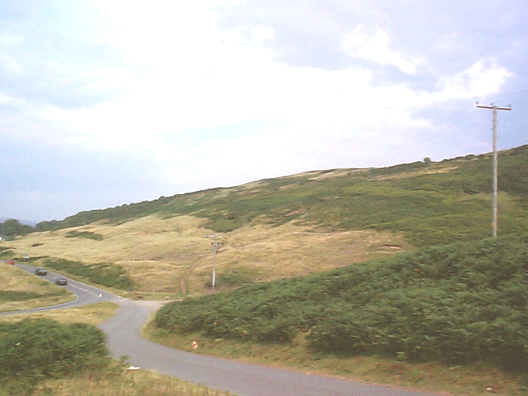
016 Ogmore Down
Unenclosed common; recreational open space; Ancient and other broadleafed woodland; with a small multi-period relict archaeological landscape element with communication features. Back to Map
Historic Background
The historic landscape area of Ogmore Down is an area of unenclosed common land above Ogmore village and an area containing a typical variety of relict archaeological features. The irregular boundary of the area is indicative of encroachment from the late medieval, but mainly early post-medieval periods (eg agricultural settlement of landless farm labourers are typically located extending along several of the lanes leading to and from the Down, such as alongside Heol-y-mynydd as depicted on the 1st edition 6-inch OS map. Part of the area is currently used as a golf course.
Historic Landscape Characteristics
Ogmore Down is characterised as an area of unenclosed Down or Common with important potential as recreational open space and partly comprises dry un-improved hill pasture, and is partly in use as a golf course. The area includes, in addition to the open common, Kings Wood a tract of Ancient and other broadleafed woodland, and unmanaged scrub (Graig Ddu). The area retains a small number of relict archaeological features including a single known prehistoric funerary and ritual feature, a Bronze Age round cairn (PRN 0230m), possible medieval agricultural and settlement landscape element is represented by features such as pillow mounds and recti-linear terracing of indeterminate age and a deserted rural settlement, a medieval long hut, at the head of Pant Norton. Numerous communication routes, from footpaths, to tracks and lanes, including the possible medieval routes of Heol-y-Mynydd and Heol-y-Slough, which connect the site of Ogmore Castle and the Downs, also traverse the area.