Merthyr Mawr, Kenfig and Margam Burrows
010 Sker Point to Porthcawl Point
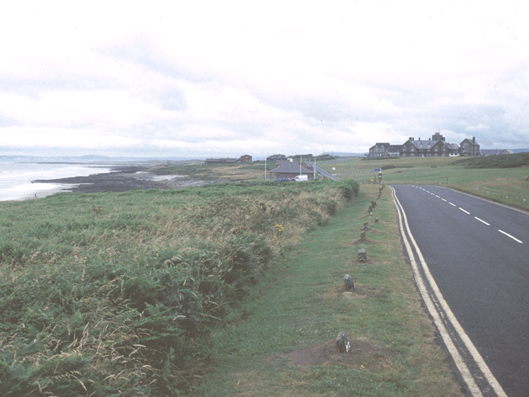
HLCA 010 Sker Point to Porthcawl Point
Coastal and intertidal zone; unenclosed common; intertidal features; historic associations; minor communications and distinctive boundaries. Back to Map
Historic Background
The historic landscape area of Sker Point to Porthcawl Point comprises the largely unenclosed coastal zone (intertidal zone and cliff edge), west of Porthcawl and includes the adjacent Lock's Common; the area is largely designated as a landscape conservation area. During the post-medieval period the area was famous as a haunt of wreckers and smugglers. The area contains the artificially enhanced harbourage at Sker, named Bwt-hafn, a whelk bed and a number of natural features typical of the rocky coastline (1st edition 6-inch 1884).
Historic Landscape Characteristics
Sker Point to Porthcawl Point is characterised as an area of coastal/intertidal zone, largely defined by rock and cliff tidal edge, but also taking in areas of adjacent unenclosed common, Lock's Common and other coastal grazing. The area is largely characterised by intertidal features: such as wrecks, sea defences, slipway, coastguard station, pavilion and summerhouse and features associated with harbourage and fishing. Chance finds of prehistoric, Roman and early medieval date are also typical of the area and include a small baked clay figure of Roman date from Lock's Common. This stretch of coast is strongly associated with wrecks and wrecking, with numerous historic references. Other characteristics include distinctive boundaries and minor communication features, typically footpaths, tracks and straight lanes.