Gower
049 Oxwich Bay Wooded Cliff Top
HLCA049 Oxwich Bay Wooded Cliff Top
Wooded cliff top margin: ancient woodland; prehistoric domestic defensive; and post-medieval agri- industrial activity. Back to Map
Historic Background
The historic landscape area of Oxwich Bay Wooded Cliff Top is defined by the extent of Extent of area of ancient woodland along cliff edge at Oxwich Bay.
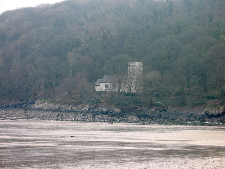
The woodland is located on a northeast facing steeply sided cliff edge looking out over Oxwich bay with the relatively flat platueax of Oxwich above. This area survives as one of the few remaining sections of ancient woodland on a cliff top location.
Remains of Maiden Castle Promontory fort on the outskirts of the area just above Oxwich point survive in a partial state; the true extent of the fort is unknown due to the degree of vegetation cover. This is certainly a defensive location and may indicate that the area was less wooded around the vicinity of the fort during the Iron Age. Little other features are recorded in the area apart from those relating to post-medieval quarrying and lime production, similar to other woodland areas on Gower, such activities were also likely to be common during the medieval period although no direct evidence is found in this character area. Quarries along the cliff edge are noted on the first edition 25-inch OS map. Similar workings may date back to the medieval period and stone from these cliffs may have contributed to the building of the nearby church, which is known to be built from local limestone. A limekiln (04786w, LB 22546 II) dating from the late nineteenth century is located in the north of the area recorded by Toft (1988b) it was disued by the mid twentieth century.