Gower
043 Paviland and Monksland
HLCA043 Paviland and Monksland
Largely post-medieval agricultural landscape and former monastic grange land: varied enclosure; medieval settlement with associated fieldscape; ecclesiastic associations and agri-industrial features. Back to Map
Historic Background
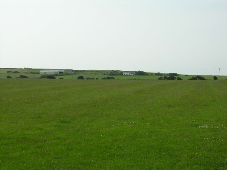
The historic landscape area of Paviland and Monksland delineates the boundaries of the medieval Cistercian Granges of 'Pomland' (Paviland), and Monksland, comprising of an area of generally larger enclosures of improved land than noted in the surrounding areas.
Archaeological evidence from the area is limited; occupation of the area dates back to the prehistoric period attested to by finds of the period, including a flint scraper and flakes (00801w, 00802w, 00886w, 00889w), however, no other information dating to before the medieval period is known.
First mentioned in the taxation of Pope Nicholas IV in 1291 the monastic grange (00900w) of 'Pomland' belonged to Neath Abbey and consisted of one carucate of arable and two mills. It is described as being in the fees of Cnoyl (Knelston) and Cistremons. This ecclesiastical holding survived until the Dissolution, recorded as 'Panylond' being worth 15s in the Valor. Little further information is currently available on the monastic grange. Following the Dissolution the land itself was passed over to the crown and some time later was held by the Talbot family; in Gabriel Powell's survey of Gower in 1764, the land was owned by 'The right Honble Earl Talbot' and was still referred to as the Manor of Paviland, including six tenements of land held in Demense. This area formed a detached portion of the parish of Penmaen. Remnants of medieval strip-fields indicate farming during this period and it is possible that the original grange buildings remained in use for some time.
At present a seventeenth century farmhouse (01636w) is located on the site of the former grange; no monastic buildings survive although four small enclosures defined by banks to the east and northeast of the house are possibly medieval in date. Another post-medieval farmstead in the area is at Pylewell. Little change to the area has taken place since the medieval period aside from amalgamation of fields. Today the enclosures are much larger than those on the first edition map and later water features have been created.