Gower
050 Port Eynon Bay Sands
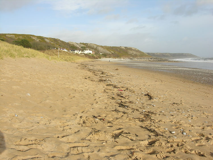
HLCA050 Port Eynon Bay Sands
Intertidal landscape: beach and shingle; sand dunes; prehistoric and Roman findspots; marine exploitation; trade and transportation; and shipwrecks. Back to Map
Historic Background
The historic landscape area of Port Eynon Bay Sands is bounded by the limits of enclosed land and cliff edge and lies between the mean high and mean low water marks depicted on 1:10000 OS map.
The earliest evidence for the area dates from the prehistoric period in the form of a stone borer (00188w) and a miniature socketed bronze axe (02620w). It is likely that the bay was exploited for sources of food over many periods. A silver Roman coin has also been found depicting Tacitus.
The Port Eynon area has been a popular fishing location for hundreds of years renown for its catches of bass, mackerel and oysters in particular. Oyster dredging was a large industry during the nineteenth century; many oyster skiffs would crowd the bay at this time, its 'heyday' being the 1830s to50s (Edmunds 1979). A number of 'ports', usually consisting of a single pier, sprung up during the medieval period along the Gower shore and similarly along the Devonshire coast, giving greater access for trade of livestock, dairy produce, corn and limestone. The bay was particularly convenient due to the proximity of the steep limestone cliffs to the shore.
The quarrying and shipping of limestone, alongside the inshore fishing trade, was important to the inhabitants of Port Eynon and provided considerable employment and income. During the post-medieval period demand increased, quarrying was largely based along the adjacent coastal margins and mainly took place between April and September. The quarried stone was brought down to the shore by cart at low water and loaded onto boats in Port Eynon Bay at the following low tide. Visible remains of this trade with Devon (primarily Barnstable and Bideford) are provided by areas of ships' ballast (blue-green stones and boulders). Lewis records in 1833 that the parish of Port Eynon 'abounds in limestone, procured in large quantities for export and also supplying neighbouring districts'. The trade in quarried limestone from Gower died off at the end of the nineteenth century, presumably because more sophisticated fertilisers became available and rail travel began to supersede shipping. The last load of limestone for Devon was carried aboard the 'Roe' in the summer of 1876.
Many shipwrecks can be found in the surrounding waters, Helwick sands are a particularly dangerous spot for shipping. Two ships, the Brechin Castle (1847) and Glanrhyd (1938), lost all lives when they hit the bank. Many bodies are said to have been washed upon the beach and beachcombers from the village are said to have rifled bodies of the dead for personal objects (Edmunds 1979).
Today nearby caravan and camping parks at Horton and Port Eynon mean the area has taken on an increasing role in tourism.