Gower
021 Oxwich Cliffs
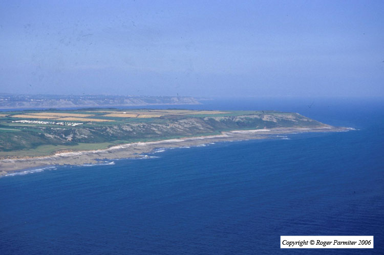
HLCA021 Oxwich Cliffs
Intertidal landscape: rocky foreshore of cliffs and caves; and shipwrecks. Back to Map
Historic Background
The historic landscape area of Oxwich Cliffs is defined by the mean high and mean low water marks as depicted on the 1:10000 OS map and by the extent of exposed rocky foreshore.
The only archaeological evidence from the area is a Roman coin hoard found just above the high water mark on the east side of Oxwich Point. One coin was dated to Trebonianus Gallus AD 253, the second to Gallienus AD 253-68 and the final one to Probus AD 278. From inference of other areas, for example, HLCA 029, it is postulated that the caves in this area were utilized during the prehistoric period although no direct evidence has yet been found.
Animal remains found on the edge of the area were identified as being a carthorse seemingly to have been buried in the cliff top fields (HLCA 048) and then moved onto the beach through erosion. A possible date for these remains was given as approximately one hundred years old at the time of their discovery in 1986. The cliffs may have extended further to the northeast; however, a large quarry at this end of the area above the beach may have reduced them.