Gower
035 Knelston Manor
HLCA035 Knelston Manor
Post-medieval/medieval agricultural and settlement landscape and manorial centre: evolved semi-regular fieldscape; distinctive boundaries; medieval ecclesiastic associations; post-medieval ribbon settlement and agricultural features; agri-industrial features; prehistoric funerary/ritual features; and communication routes. Back to Map
Historic Background
The historic landscape area of Knelston Manor is defined by the long-established boundaries of the Manor of Knelston, incorporating the medieval ecclesiastical focus of Knelston.
Occupation of the area dates back to the prehistoric period attested to by three surviving standing stones attributed to the Bronze Age. One of these (00084w; 305528; SAM GM150) was definitely part of a north - south alignment of three standing stones located in a field known as Sheep Lays depicted on an estate map of 1784 (Morris 1960, 65) located almost due south of Higher Mill, Burry; two of the stones are now missing. A second stone (00085w; 305529; SAM GM134) situated to the west of these is now recumbent and may be associated with the other three as well as others possibly originally located in the area. This stone was excavated by Savory and Rutter in 1948, however, no information about the stone was gleaned except that it appeared to have been disturbed in recent times following the discovery of a modern jam-jar and glass bottle. Another stone (00157w; 305470; SAM GM191) is located just north of St Mary's/Maurice's church at Knelston.
Little is known of the early history of the area, however, the area may have originally belonged to the larger early Welsh maenor of Landimore before dissection by the Normans (Cooper 1998). Knelston was held as a Knight's fee from at least the thirteenth century and possibly belonged at this date to Gruffydd Gwyr who may have received the area as a reward from supporting Llywelyn (Draisey 2002, 54). An Edward I penny (01131w) dating to this period has been found in the area. During the Medieval period settlement at Knelston was more prominent; the church of St Mary's (00168w; 305469; SAM GM156) at Knelston (now a ruin) was donated by Henry de Beaumont, Earl of Warwick to the Abbey of St. Taurin, Evreux, Normandy in the twelfth century (Orrin 1979). The original old Welsh name for the area was Llan y Tayre Mayre (Llan y Tair Mair), this is said to refer to the daughters of Anna, mother of the Virgin Mary, who is said to have been married three times and from each marriage had a daughter named Mary (Orrin 1979). From the fourteenth century the church belonged to the Bishop of St David's who collected tithes from the area, however, by the seventeenth century the church had fallen into disrepair, yet was still used for burials until the eighteenth century (Gibbs 1970). The church is also referred to as being dedicated to St Maurice, however, the validity of these sources are questionable (Gibbs 1970). Little is known about the nature of the settlement during the medieval settlement although the church was likely to have been the main focus.
Merrick writing in the sixteenth century records the parish of Knelston as belonging to Robert Thomas. By the time of Gabriel Powell's survey of 1764 the area was owned by Lady Charlotte Edwin, sometime after the production of the tithe map (1846) the parish of Knelston became part of the parish of Llanddewi. The tithe map shows the main settlement clustered around what may have been a village green to the west of the church comprising of a number of cottages and small farmsteads. The land has been mainly consolidated although a number of strip fields remain close to this main settlement area. This area was re-organised by the publication of the first edition 25-inch OS map, the road was narrowed and the green given up for buildings and garden plots for cottages. The smithy (41189) remained, however, smaller farmsteads were replaced by larger ones such as Fairfield Farm and Hillcrest to the south of the road and Knelston Hall farm just southwest of the church; the name of which may indicate the rebuilding of an earlier farm with possible medieval precursors. Some further amalgamation of the fields had also taken place by this date.
Outlying settlement depicted on the tithe map comprised farms scattered along the northern boundary of the area near the stream, this included a range at Whitewell (01645w; 28035), Burry, the complex around Higher Mill and a holding west of Burry which no longer survives. By the first edition 25-inch OS map, the complex at Higher Mill had expanded slightly to comprise an almost u-shaped range with linear range to east and garden; Whitewell had also been extended eastwards with an extra range added to the building to the south. Higher Mill (02120w; 24939) was the mill of the manor of Henllys, well established by the seventeenth century; it probably had its origins in the medieval period. The first mention of this mill is in the Margam manuscripts of 1658. In 1715 it was handed over along with other lands to Lord Mansel of Margam. The mill was in operation as a grist mill until 1907 (Taylor 1991) and formed part of a complex of mills utilising Burry Pill possibly from the medieval period. A few other holdings were located along the boundary with Reynoldston, including Frogmoor Cottage.
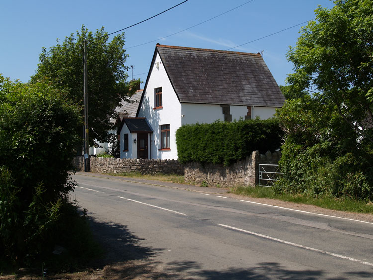
Surviving post-medieval settlement and agricultural buildings include Knelston Hall Farm, Forge Cottage, Knelston Cottage, Whitewell, Burry (now Burry Dairy Farm), Burry Farm and Lake Farm, mostly of nineteenth century date. Some nineteenth century features may also survive at Frogmoor cottage and Fairfield Farm although further survey is required to determine whether this is the case. Also of nineteenth century date are the Providence Baptist Chapel built in 1858 and manse (18638; LB 22792 II). Samuel and Hannah Wilson of Fairfield Farm persuaded the Baptist Home Missionary Society of Glamorgan to sponsor the building of the chapel; during this period Knelston became the centre for Baptist missionary work in Glamorgan under the Rev JG Phillips and Rev David Evans (LB description).
The field system has seen some further amalgamation since the first edition OS, however, indications of a former strip field system are still present in today's landscape the field pattern largely consisting of long rectangular shaped fields. Little change to the settlement took place between the first and third edition OS maps apart from the addition of a school. More recent development mainly comprises a number of cottages, for example, Dingle Bank, White Stile, Orchard Green, Well Park, Forge Acre, the Tors along the main roads through the village. Also Hillcrest farm has been destroyed and replaced by smaller dwellings, Fairfield Farm and Knelston Hall farm have expanded and a new school has been constructed near the old school. Elsewhere in the area Burry Dairy Farm and Lake Farm have been expanded, the latter also has a nearby caravan park. The main routes in the area remain the same as depicted on the tithe and mainly form the boundaries of the area along with a green lane running northwest - southeast seeming to be part of a main route through the area which runs from Oxwich to Cwm Ivy.
Also depicted on the first edition OS map are a number of quarries, and limekilns dating from the post-medieval period when change in agricultural practice resulted in an increase in the use of lime as fertiliser, this greatly increased in the nineteenth century as elsewhere in Gower.