Gower
036 Stouthall
HLCA036 Stouthall
Post-medieval gentry estate and parkland: park and ornamental woodland; historic associations former estate of the Lucas family; relict agri-cultural features and trackways. Back to Map
Historic Background
The historic landscape area of Stouthall equates to the area of Stouthall registered park and garden (PGW (Gm) 57) with essential setting as well as the land associated with the estate depicted on the tithe map of 1838.
Bronze Age activity dominates the surrounding area of Cefn Bryn; a Bronze Age standing stone (00158w) is situated in the woodland east of the Stouthall, however, this has been removed from its original location which is unknown.
Further evidence of occupation of the area is unrecorded until the ninth century; a pillar stone cross (00164w; 301403) was once situated within the former woodlands east of the main north-south road. This had been reset upon a millstone on a small mound probably during the latter half of the nineteenth century. It is incised on one side with a double cross and on the other side an equal armed cross with smaller crosses between the arms, and an extensive area of knotwork decoration. It has now been relocated to Reynoldston church.
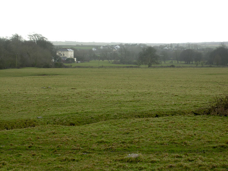
Stouthall (02902w; 265706) is situated slightly southwest of Reynoldston village, north of the A4118 within the former manor of Reynoldston and may have been the location of the house of the manor. William Jernegan built Stouthall house (19999; 01505w; LB 19870 II*) in the late 1780s for John Lucas the younger, replacing an earlier house, which had been home to the Lucas family since the sixteenth century. John Lucas previously lived at Fairyhill, however he had moved to Stouthall by 1793. Lucas erected in the grounds a small stone circle (now destroyed) described by Samuel Lewis in 1833 as 'forming a miniature representation of Stonehenge'. The property passed to his son Colonel J. Nicholas Lucas and then to his son-in-law Colonel Edward R. Wood, High Sheriff in 1861. Colonel Wood undertook archaeological excavations of some Gower caves. Stouthall was sold to the Morgan family in 1920 and has been rented out over the years as a school, maternity hospital, convalescent home and field study centre.
The parkland is small and simple consisting of a large field to the north of the house bordered by beech trees. The pleasure gardens lying to the south and east of the house consist of three main areas. The first is woodland to the east of the drive leading from the A4118; the second is an area of natural rock, probably modified by quarrying but including natural holes, cliffs and caves, and an ice house, to the west of the kitchen garden; the third is another woodland area in the southeast of the grounds, with a small pond. There are also gardens around the house, of which only the kitchen garden now remains, in a ruinous condition. The grounds are probably contemporary with the house; John Lucas was an enthusiastic botanist and is therefore likely to have held an interest in his gardens. Sale particulars from 1920 mention the grounds being 'of limited extent and inexpensive to maintain'; including a tennis lawn, Ladies' Garden and shrubberies (Cadw 2000). The fashioning of the cave as an ornamental feature was probably undertaken by Colonel Wood in the second half of the nineteenth century. A walled kitchen garden to the east of the house also seems to date from the 1790s; sale particulars of 1920 describe a lean-to vinery, a potting ground and adjoining orchard.
The parkland was more extensive than the area given in the Register of Parks and Gardens; the estate map of 1784 demonstrates that adjacent land was also owned by John Lucas Esquire, depicting remnants of strip fields to the north east of the house. These boundaries are also retained on the tithe map of 1838 with the addition of a farm to the east of the house. This is further emphasised on the 1st edition OS map (1878) as the parkland is bordered to the north and west by a row of trees extending to the lane to Frog Moor. The field is also sparsely planted with trees. To the east the area known as woodlands is depicted as mixed woodland at this time with a number of woodland walks and a fishpond. The woodland and the tree lined park boundary are present up until at least the third edition map demonstrating that this land was still part of Stouthall estate. The farm range was added to by the first edition 25-inch to form a quadrangle with entrances to the north and east. This range of buildings remained partially intact until the third edition after which it appears to have been demolished. This area is now known as Woodside, which comprises a modern dwelling with a garage to the north.
A series of earthworks (54499) within the farmland, which forms the essential setting, represents a trackway and former field system as can be seen on the map of 1784. Most of the woodland has now been removed and the limits of the park are reduced.