Gower
063 Walterston
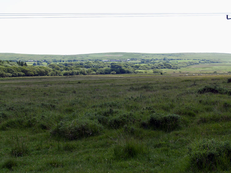
HLCA063 Walterston
Post-medieval agricultural landscape and former medieval grange: post-medieval enclosure and remnant medieval stripfields; scattered farmsteads; deserted medieval settlement; scrub and woodland; buried archaeology. Back to Map
Historic Background
The historic landscape area of Walterston equates to the extent of the former manor of Walterston situated between Cefn Bryn and Parc le Breos, incorporating the former medieval grange of Walterston.
There is currently no archaeological evidence recorded for this area before the medieval period. However, the adjacent area of Cefn Bryn (HLCA038) has a wealth of evidence from the Mesolithic to the Iron Age.
During the twelfth century the manor of Walterston was held by William de Barri, however, William Turberville had previously granted the chapel (05266w) at Walterston along with Llanrhidian church to the Knights of St John (Rees 1984) yet the de Barri family claimed the patronage of the chapel for themselves (Toft 1996). It is speculated that its association with Llanrhidian may mean that the chapel at Walterston had pre-Norman origins (Toft 1996). A document from the late twelfth century made by Bishop Peter de Leia confirms that William de Barri gave thirty acres of land in the manor of Walterston to the Cistercian Order at Neath Abbey (Toft 1989) for an annual rent of four sheep's fleeces. Before 1250, the Abbey exchanged some land in Somerset for the whole of the Manor (Toft 1996). This manor was closely associated with the adjacent Manor of Cillibion (HLCA 070), which also belonged to the Cistercian Order at Neath Abbey and were held as one knight's fee. It is known that two settlements existed within the manor; that of the grange (05201w; 00902w; 27970) and also the secular Villa Walteri, the exact location of the medieval village is uncertain, however, the RCAHMW have identified the southwest corner of the area as a site of a deserted village (00882w).
From documentary evidence the original thirty acres of land held by Neath Abbey can be determined as the southeastern section of land known as 'the sleng' in the post-medieval period. This evidence has largely been taken from the tithe map as land belonging to the grange was free of ecclesiastical tithe and this remained so until the mid-nineteenth century (Toft 1996). Land gained after 1215 was only tithe free if it had never been previously cultivated. It is possible that from the fourteenth century the area was leased out rather than exploited directly by the monks. Dissolution of Neath Abbey in 1539 resulted in the land being leased to Sir Richard Cromwell; later the manors of both Walterston and Cillibion were bought by David Jenkins and John and William Price (Rees 1984).
A survey of the manor authorised by John Price in 1689 recorded that most of the demesne land was occupied by leasehold tenants with the rights to cut furze and fern and to graze cattle on the common land. This survey also gives an idea to the range of agricultural produce at Walterston, including corn, hay, hemp, flax, hops, honey and apples (Rees 1984). By 1723 Walterston manor had been separated from Cillibion in its sale to Thomas Mansel, the inheritance of which transferred to the Talbot family in 1750 (Rees 1984). Survey of the Penrice estate during the late eighteenth century shows that all but the northern most part of the former manor belonged to the Penrice estate (and therefore at this time to Thomas Mansel Talbot), the remainder belonging to the Gellihir Estate owned by the Price and then the Vivian family during the post-medieval period. Still linked with Llanrhidian the area was incorporated into its parish and at the time of the tithe map (1846) the Penrice estate was owned by Christopher Rice Mansel Talbot. The sale of the Penrice estate in the mid twentieth century resulted in the area being bought by a number of farmers, many of who were tenants of the land at that time.
Toft (1996) suggests that the settlement in the south of the area was associated with the grange and that the medieval location of Villa Walteri with chapel was located near the centre of the lands near a field known as Cross lands, however, no remains have yet been identified in this area. From the post-medieval period, settlement was largely contained to the boundaries of the area with Cefn Bryn. John Williams' map of 1785 depicts a number of cottages and crofts particularly along the southern boundary, corresponding to the area of the deserted village identified by the RCAHMW. The map also depicts a few ruined sites, including that of Wayn Leverieth, later the site of a field named as Leverieth Croft on the tithe map. It is possible that these dwellings date back to at least the seventeenth century and they remain on the tithe map of 1846 along with a few new homesteads. The most influential farmsteads at this time appear to be Little and Great Walterston (02142w), both of which still remain along with Little Bryngwyn making up almost the complete extent of the settlement today. This has been the case since the early twentieth century, however, the earlier farmstead at Little Walterston (300039) was ruined by fire in 1974 and it is unrecorded whether earlier remains survive.
Consolidation of the agricultural holdings took place from the sixteenth century onwards and few indications of a strip field system remain today. The present field system is certainly relict of the late post-medieval period albeit more amalgamated than the estate map of 1785 and closely resembles the tithe map of 1846. However, it is likely that the field boundaries remaining today had their origins in the medieval period.