Gower
070 Cillibion
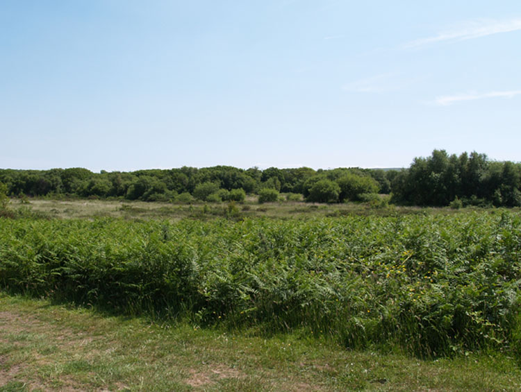
HLCA070 Cillibion
Post-medieval agricultural and woodland landscape and former medieval grange: remnant medieval fieldscape; farmsteads; post-medieval industrial features; woodland management; deserted medieval settlement; buried archaeology; and communication routes. Back to Map
Historic Background
The historic landscape area of Cillibion incorporates the approximate extent of the manor of Cillibion, including grange (03215w) of same name and woodland to the south of Welsh Moor and Forest Common.
There is currently no archaeological evidence recorded for this area before the medieval period. However, the adjacent area of Cefn Bryn (HLCA 038) has a wealth of evidence from the Mesolithic to the Iron Age.
An early Welsh settlement established prior to the Norman arrival, this manor later belonged to the Cistercian Order of Neath Abbey and was closely associated with the adjacent Manor of Walterston (HLCA 063), held in its entirety by Neath Abbey from the thirteenth century. Cillibion and Walterston were later held together as one knight's fee. Rice Merrick records a hamlet at Cillibion in the sixteenth century; the exact location of the village and grange is unknown though it may be speculated that the main settlement was situated in the area of Little Cillibion.
Dissolution of Neath Abbey in 1539 resulted in the land being leased to Sir Richard Cromwell; later the manors of both Cillibion and Walterston were bought by David Jenkins and John and William Price (Rees 1984). A survey of the manor authorised by John Price in 1689 recorded that most of the demesne land was occupied by leasehold tenants with the rights to cut furze and fern and to graze cattle on the manorial common land. Cillibion manor was separated from Walterston sometime in the seventeenth century when the latter was sold to Thomas Mansel (Rees 1984). There is some contradiction as to whether Cillibion was also owned by the Mansel family and as to when Walterston was acquired as Draisey (2002) lists both manors as belonging to Sir Edward Mansel at the time of the Cromwellian Survey (1650). Sometime in the seventeenth century enclosure of land in the area had reached Welsh Moor as evidenced by Queen's Meadows (Cooper 1998). Consolidation of the agricultural holdings took place from the sixteenth century onwards and indications of a strip field system remain today in the southern and western parts of the area.
By Powell's Survey of 1764 Cillibion was still held by the Price family, however, the manor eventually fell into the hands of the Camerons who built the farmhouse at Cillibion in the 1830s. The manor was then sold to Hussey Vivian (later to become the first Lord of Swansea) in the 1850s who also purchased the Gellihir Estate from the Camerons. Cillibion was let to George Gower of Norfolk and then to the Harry family from 1870. The Vivians were responsible for laying down the plantation in the north of the area in the 1860s along with a small charcoal wood (02163w) near the entrance to the plantation at Llethrid; charcoal was taken to the copper works owned by Lord Vivian in Hafod (Rees 1981) and also used at Llethrid Acid Works constructed by Vivian in the late nineteenth century, remains of which survive.
Settlement of the area by the date of the first edition 25-inch OS map was largely confined to Cillibion and Little Cillibion farmsteads on the very edge of Cefn Bryn much as it is today apart from the addition of Penrose farm. It is unknown if either of these locations were the site of the medieval hamlet of Cillibion or the Cistercian grange, however, potential remains for deserted Medieval settlement to be located in this area around Cefn Bryn. The present field system is certainly a relict landscape of the late post-medieval period and closely resembles the first edition OS map. Unusually, some fields have been further subdivided and new enclosures can be found especially around the area of the recent Penrose Farm. It is likely that field boundaries in the southern and western part of this area remaining today had their origins in the medieval period, whilst the field pattern and woodland to the north is post-medieval in date. Woodland from the nineteenth century plantation was largely removed for the war effort in 1914 (Rees 1981); the area is now modern mixed plantation with ancient woodland to the east.