Gower
069 Welsh Moor and Forest Common
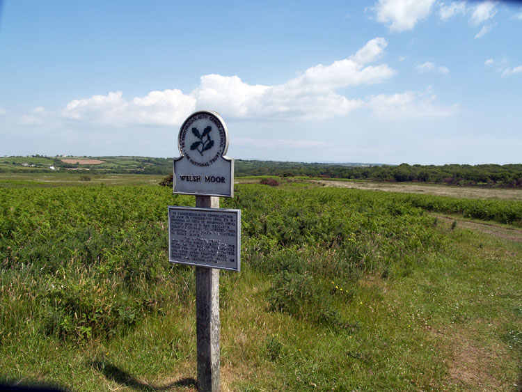
HLCA069 Welsh Moor and Forest Common
Unenclosed common land: unmanaged scrub; communication routes; and buried/relict archaeological features. Back to Map
Historic Background
The historic landscape area of Welsh Moor and Forest Common equates to the extent of unenclosed common land known as Welsh Moor and Forest Common, essentially a continuation of Pengwern and Fairwood commons westwards.
During the early post-medieval period Welsh Moors, Forest Common and the adjacent Pengwern Common had been encroached upon from the direction of Cillibion and Llethrid farms, to form the current eastern and southern boundaries, while similar processes seam to have been in progress during the seventeenth century along the northern and western boundaries of the common, with the present boundaries of this area in place by the eighteenth century.
Whilst Welsh Moor and Forest Common is considered to be the only large area of common surviving in the Welshery by the 1400, little is known about the archaeology of the area. A number of possible relict features of unknown date have been identified from aerial photographs including settlement enclosures (SS52471 92701 and SS52433 92749) with larger enclosure/encroachment intake at (SS52464 92796) and a large curvilinear feature on Forest Common between SS52808 92574 and SS53055 92440. Else where a survey carried out on behalf of the National Trust has identified a bank (SS5161 9282 - SS5172 9276) of unknown date (Poucher 2003). The area has been used for grazing since at least the medieval period.