Gower
066 Cil Ifor
HLCA066 Cil Ifor
Prehistoric and medieval defended settlement landscape (Cil Ifor hillfort and ringwork): post-medieval agricultural enclosure; scrub and woodland; relict and buried archaeology; water features. Back to Map
Historic Background
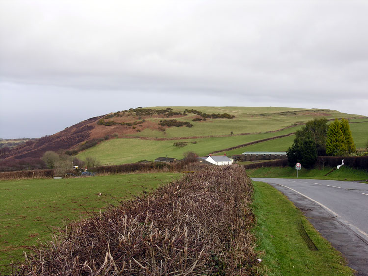
The historic landscape area of Cil Ifor is bounded to north, south and west by modern roads and to the east by the extent of forested land. The area covers the postulated extent of former common adjacent to Cil Ifor hillfort and its environs.
Situated in a commanding location c.120m above sea level on a ridge orientated northwest - southeast, Cil Ifor is located between Welshmoor and Llanrhidian and has extensive views over the salt marshes, low lying land, Loughor Estuary and Cefn Bryn.
Cil Ifor mutlivallated hillfort (00233w, 301311, SAM GM124) was a focal centre for activity from the Iron Age. Although no direct dating evidence has been recovered from the fort, its form as IA 'B' class, a so-called terrace camp, dates the site as no later than the first century BC, and is unique in Gower. Such a large defensive settlement (encompassing approximately 3ha) would surely have held substantial influence over the surrounding areas during this period. Occupation of the fort or indeed the surrounding area is likely to have continued into the Roman period, though there is no evidence to support this. Aerial photographs show a possible large enclosure or enclosures southwest of the fort, appearing to have a number features in the centre. This site has not been recorded previously recorded and may indicate further occupation of the area.
Re-use of the site during the Medieval period is evidenced by a ringwork (00236w, SAM GM124) at the southeast end of the fort inside the enclosure. There is no record of a castle here, however, it has been suggested that this may be the location for the Tubervilles 'missing' castle. The area of Cil Ifor was associated with the manor of Landimore during the twelfth century when the Tuberville family had an extensive land holding in Gower. Possible locations for their Gower seat are suggested as Cil Ifor and the ringwork on North Hill Tor. A supposed holloway (00937.0w) of Medieval date curves up the west-facing slope of the fort, terminating at the earthwork at the west end.
The area surrounding Cil Ifor Top in this HLCA is a mixture of agricultural land and scrub and woodland (former common land). The first edition 25-inch OS map depicts large, varied enclosures with common land to the north of the area with old quarry and gravel pit. The farmland is likely to have belonged to Cil Ifor Farm just west of the area. The area remains largely unchanged since the publication of the first edition 25-inch OS map apart from amalgamation of fields. A few post-medieval barns can also be found in the area (02695w).