Gower
025 Hardings Down
HLCA025 Hardings Down
Unenclosed common land: prehistoric defended enclosures and settlement features; routeways; and prehistoric ritual/funerary monuments. Back to Map
Historic Background
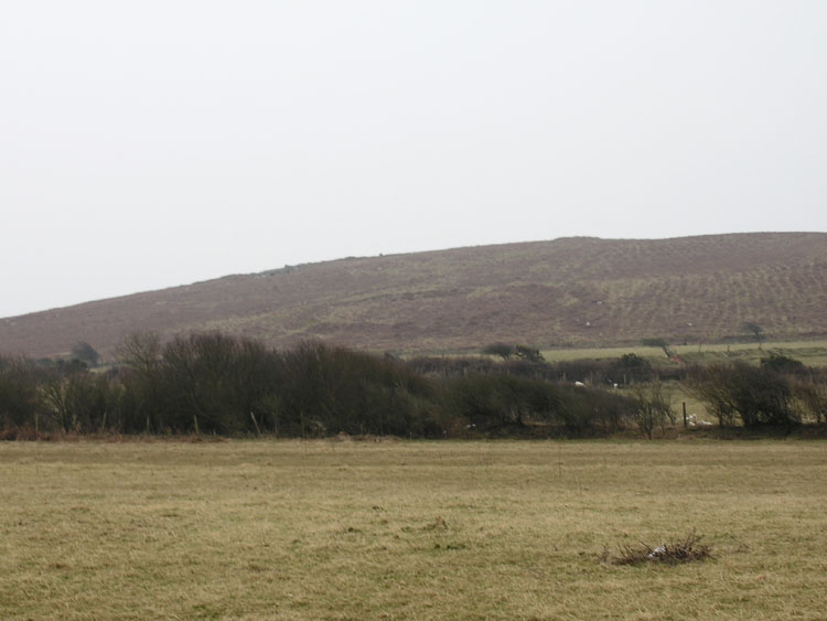
The historic landscape area of Hardings Down covers the extent of unenclosed common land of irregular shape situated to the southeast of Llangennith.
Hardings Down is a hill reaching a maximum height of 152m OD gently sloping to the northeast and steeper to the west. Archaeology prior to the Bronze Age is unknown. One known cairn (00020w), dating from the Bronze Age is situated on the southeast brow of the hill. It is possible that other cairns remain undiscovered in the area given the high quantity found upon the ridges of other commons in Gower, especially Llanmadoc Hill, Rhossili Down and Cefn Bryn.
Hardings Down was a focus for activity during the Iron Age. Three enclosures (SAM GM060) occupy the summit and northwest slope of the hill. The westernmost site is well defended, probably being a small hillfort (00025w; 301323); this was excavated in 1962 and yielded the foundations of two sub-circular hut platforms and a fragment of Iron Age pottery.
These sites may have continued in some use during the medieval period, as a number of enclosures of likely medieval date are present as additions to the ramparts. The open common land formed part of an agricultural system, combining arable sharelands on the lower ground with open access to the common, used by the villagers as grazing land for livestock. Encroachment of the Gower commons took place from the sixteenth century onwards, most of the enclosure of this area seems to have taken place from the eighteenth century especially that of Druid's Moor; reducing the overall size of the common. Farms on the edge of the common such as East, Middle and West Cathan and Druid's Lodge were able to exploit the common land for grazing as well as arable low land. Encroachments of land were improved during the twentieth century. This area continues to be used for grazing of livestock.