Gower
027 Fairyhill
HLCA027 Fairyhill
Post-medieval gentry estate and parkland landscape: eighteenth century house and park; agricultural and water related features; and historic associations. Back to Map
Historic Background
The historic landscape area of Fairyhill equates to the area of Fairyhill registered park and garden (PGW (Gm) 49) with essential setting and also takes in the land to the east associated with the estate farm depicted on map of 1843.
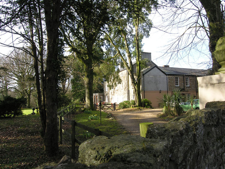
Fairyhill house (02894w; 18637; LB 22849 II) is situated near to Burry Pill, just northwest of Frog Moor, in the former parish of Reynoldston and was situated in a detached part of the manor of Reynoldston. Much of the early history of Fairyhill is unknown until it became under the ownership of the Lucas family in the early eighteenth century. Formerly known as Peartree it was occupied by Richard Lucas and his new wife Barbara Bowen by 1720. In 1795 John Lucas took over the property and named it Fairyhill. The property was later leased to Lady Diana Barham in 1813 who helped in establishing Calvanistic Methodism in nearby Burry Green. Upon her death in 1823, Henry Lucas moved into the house, however rising debts resulted in him selling the property to Reverend Samuel Phillips. Between 1858 and 1921 Fairyhill belonged to the Benson family, the head of the family was Starling Benson, a mayor of Swansea who brought much money to the property and maintained it well. After the Second World War it was bought by Mr E.H. Phillpotts who allowed it to fall into disrepair. It was not until 1982 that restoration work started on the property, carried out by Mr and Mrs Frayne, becoming a hotel in 1984 (Cadw 2000).
It is thought that the park (265673) was developed by Richard Lucas or his son John in the second half of the eighteenth century, as its style seems to reflect this date. An essentially ornamental field situated south of the house and main garden portrays a picturesque and peaceful scene. The park comprises mostly of open grassland bordered by deciduous trees to the south, east and west; including oak, beech, ash and hazel. Later nineteenth century planting is evident in rhododendrons and conifers. The park is bounded by a stone built ha-ha and ditch.
To the east of Fairyhill house is the estate farm and associated buildings, the three large fields north of here were held by the farm on the tithe map of 1843, therefore are included as part of the working estate. Land associated with the essential setting as depicted in Register of Parks and Gardens was not within the bounds of the Fairyhill estate, and is shown forming part of the estate of Thomas Mansel Talbot and part of the holding named as Burry Green Farm (Tile House) on a map of 1786.
Also within this character area is Stackpool Mill (02894w; 24972), a long established manorial mill of Reynoldston manor described in the 1665 Survey of the Manor of Reynoldston as "There is one mill within the Lordship upon the River Burry called Stapeeles Mill, being a custome mill that all the tenants are bound to doe their suite there." Estate rent rolls show that the Lucas family held the mill until 1731. The last miller was Henry Beynon, member of another well-known Gower family who kept the mill in operation until 1915. The structure was rebuilt post 1965, two millstones were discovered, one French barn flour stone and the second a sandstone for barley.