Gower
080 Wernllath
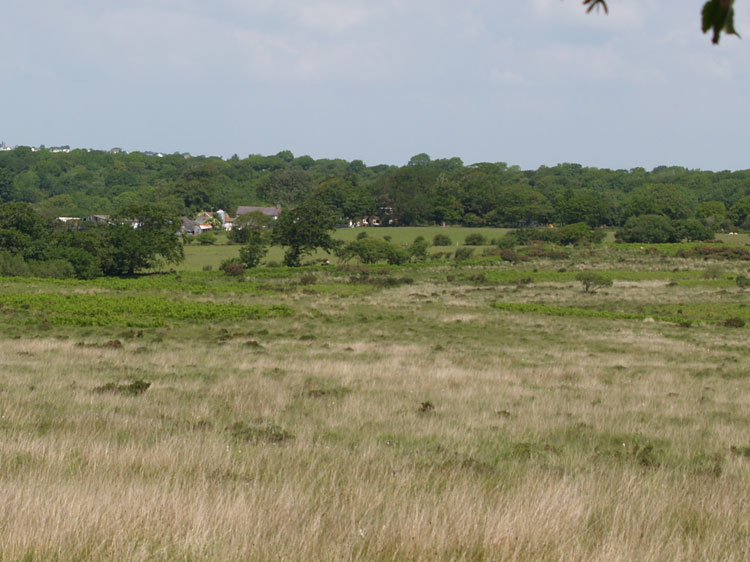
HLCA080 Wernllath
Largely Post-medieval agricultural landscape: varied, largely irregular fieldscape pattern; early post-medieval encroachment; traditional boundaries; dispersed post-medieval settlement and related features; and relict medieval features including medieval ringwork. Back to Map
Historic Background
The historic landscape area of Wernllath represents an area of enclosed land to the west end of Clyne Common and includes land within the parish of Bishopston and a small area of now enclosed land west of Clyne Common, lying within the bounds of Oystermouth Parish. The area is largely located within the former manor of Bishopston, an ecclesiastical holding within Gower Anglicana. Prior to the Norman reorganisation of Gower, the area would have been part the Welsh medieval Cwmwd of Gwyr, within the Cantref of Eginog. During the reorganisation of the post-medieval period the area formed part of the Hundred of Swansea, within the County of Glamorgan.
The earliest landscape features in the area are medieval in date and include the medieval partial ringwork and bailey of Old Castle (00244w; 305586; SAM GM154) and other medieval earthwork features relating to agriculture. Old Castle itself was partially excavated in 1899 by WL Morgan (RCAHMW 1991, 81-3 CR1). Contemporary agricultural features comprise earthworks related to relict medieval field systems at Wernllath (02083w; 02086w; 24310); these are typically narrow stripfields approximately 200-300m in length by 30m in width (RCAHMW 1982, 309).
It appears that much of the fieldscape of the area was, however, enclosed from common land particularly during the sixteenth century as indicated by documentary evidence of encroachment recorded by the Earl of Worcester in the 1590s (Robinson 1968, 372, 375, 379).
Wernllath, a small hamlet held as a manor by tenure of Grand Sergeanty, was an important centre of non-conformity from the time of the civil war and has been postulated as the home of Henry and Mary Griffiths, leaders of the non-conformist cause during the seventeenth century; whilst this association is unproven, the farmhouse at Lower Wernllath continued to be used for prayer meetings until the end of the nineteenth century (Morris 1998; Rogers 1967). The hamlet of Wernllath is shown on the tithe map of 1843 as comprising four occupied farmsteads, a situation unchanged since the land tax assessment of 1766. Unproven local lore apparently indicates a time when this settlement was three times as large and included a public house. It is known that Lower Wernllath was owned by a Mr George Ace and occupied by James Webborn at the time of the 1766 Land Tax Assessment and passed to the Snead family in 1773. In 1843 the holding comprised 53 acres, of which 31 were arable, 17 pasture or meadow, and 5 woodland. From the early nineteenth century the farm was tenanted by members of the Hopkin family.