Gower
079 Clyne Common
HLCA079 Clyne Common
Unenclosed common land: communication routes; leisure; water features; buried archaeology. Back to Map
Historic Background
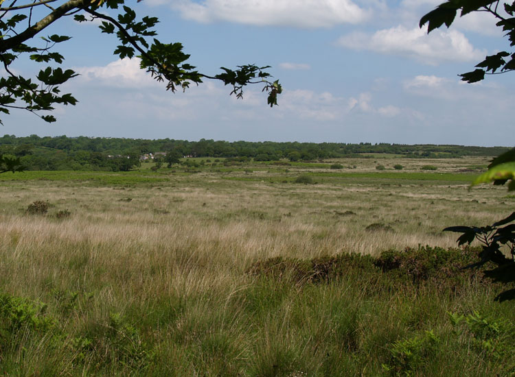
The historic landscape area of Clyne Common comprises the area of lowland common known as Clyne Common, the most westerly of a group of common land including Welsh Moor, Forest Common, Pengwern Common, and Fairwood Common, which comprise a belt of land lying across the south western edge of the Coalfield deposits, left in an unenclosed state when the adjacent field systems were laid out.
The area is now used for rough grazing, but there are areas of scrub and trees. Unlike the Gower Upland Commons to the north and west, Clyne Common and the other Lowland Commons are still nearly continuous, though they have been interrupted in places by intakes, most notably the area around Wernllath between Fairwood and Clyne Commons, Cillibion Plantation and the area on both sides of the road around Carterford Bridge, all of which were enclosed before Yate's map was drawn up in 1799. Some of these, particularly that at Wernllath, may be the enclosures complained of by the Earl of Worcester in the 1590s (Robinson 1968, 372, 375, 379). Today the area is still moorland with some scrub and trees, and is still used for rough grazing.
The only archaeology recorded is part of a quern (00246w) and a circular enclosure probably representing a cock fighting pit of post-medieval date (54488; 00330w); an embanked sunken oval area measuring some 12m by 6m internally, and roughly 16m across from bank crest to crest, with two opposed entrance gaps in the bank aligned northwest - southeast. A gravel pit is depicted on the first edition OS map and most of the area has been used as a golf course from at least the twentieth century. The Club was founded and registered as a Limited Company in 1920; the course was designed by Messrs H S Colt and Harries, the leading golf architects of the day and has remained virtually unchanged (http://www.clynegolfclub.com/introduction.htm). Additional possible features have been identified from aerial photographs, however these require further investigation.