Gower
077 Hen Barc
HLCA077 Hen Barc
Post-medieval agricultural and woodland landscape: varied, but generally irregular fieldscape; traditional boundaries; dispersed post-medieval settlement and related features; medieval deer park; woodland management; and industrial features. Back to Map
Historic Background
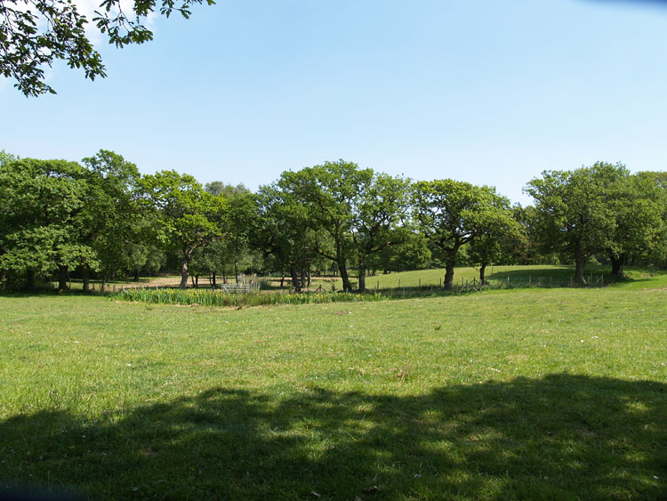
The historic landscape area of Hen Barc forms an area of partly enclosed land to the west of the wooded Clyne Valley Country Park and north of Clyne Common, and represents an area of post-medieval encroachment, possibly dating from the mid-sixteenth century or before.
The history and development of the area has been detailed in Leighton (1997). Clyne Common and Wood originally formed the northern portion of the demesne Manor of Oystermouth and part of Bishopston, an ecclesiastical estate from the seventh until the eighteenth centuries. By the fourteenth century this area was known as forest; rather than referring to tree cover, the latter is a reference to the use of the area for the preservation and hunting of game (such as deer). This was the preserve of the local lord of the manor subject to Forest Law. The forest would have incorporated a park, and enclosure in which the deer would have been kept and this is probably eluded to in the place name 'Hen Barc'. De Breos's charter of 1306 notes the intention to empark the woodland of Clyne; however, no known remains of a substantial pale, as at Parc le Breos are known. Leighton suggests the act of physically emparking the area may not have in fact occurred, and this for a variety of reasons, including labour shortage and unpopularity amongst the tenants.
The name of Clyne Farm first appears on a plan of 1760 and is first described in Powell's survey of 1764, and the holding first detailed on a map of 1770. David Leighton notes that the latter is notable as the farmstead known currently as Clyne Farm did not then exist; these in fact were constructed on a new site between 1779 and 1784. Also the holding was more extensive in 1770 than it is today, taking in enclosures along Mill Lane around Underhill Cottage, in the area of the later Clyne Wood (HLCA 078 Clyne Castle) and enclosures close to Clyne River. Leighton informs us that there were four occupied buildings, possibly the dwellings of tenants listed in the survey of 1764 as occupying 'a tenement of lands known as Clyne Farm'. The two western most buildings close to the Common are now ruins, the others Underhill Cottage and number 11, Mill Lane are still occupied. Leighton notes that the position in 1770 was that Clyne farm comprised an agglomeration of conjoined and detached parcels together with several cottages, a small number of dispersed dwellings set in an already enclosed landscape, prior to the establishment of the main homestead in the 1780s (Leighton 1997, 144-145). Leighton suggests that while the establishment of the enclosed landscape at Clyne farm could date back to the medieval period, it is likely that the enclosure pattern of the area may have emerged from the mid-sixteenth century onwards and could be referred to in a survey commissioned in 1583. Certainly by the Parliamentary Survey of 1650 parcels of arable and meadow had been established at Clyne Farm, with the boundary given as the Black Pill River to the north and Clyne forest to the south, though the land appears to have remained significantly wooded in nature. Despite evidence of piecemeal enclosure, it appears likely that consolidation of the holding happened over a relatively short period between 1720 and 1779. Leighton concludes that Clyne Farm underwent a process of enclosure affecting land previously subject to the common right of access, a process seen elsewhere in England and Wales between the mid-seventeenth and mid-eighteenth centuries (Leighton 1997, 135-159).
Prior to the 1860s the area largely comprised part of the estate of the Dukes of Beaufort, after this date Clyne Farm and the adjacent Clyne Wood were incorporated into the Woodlands (Clyne) estate of W Graham Vivian. Small plantations of conifers were added to Clyne farm during the latter part of the nineteenth century.