Gower
058 Penmaen and Pennard Burrows
HLCA058 Penmaen and Pennard Burrows
Besanded landscape: multi-period relict/buried archaeology; prehistoric funerary ritual features; relict medieval settlement; and agri-industrial features. Back to Map
Historic Background
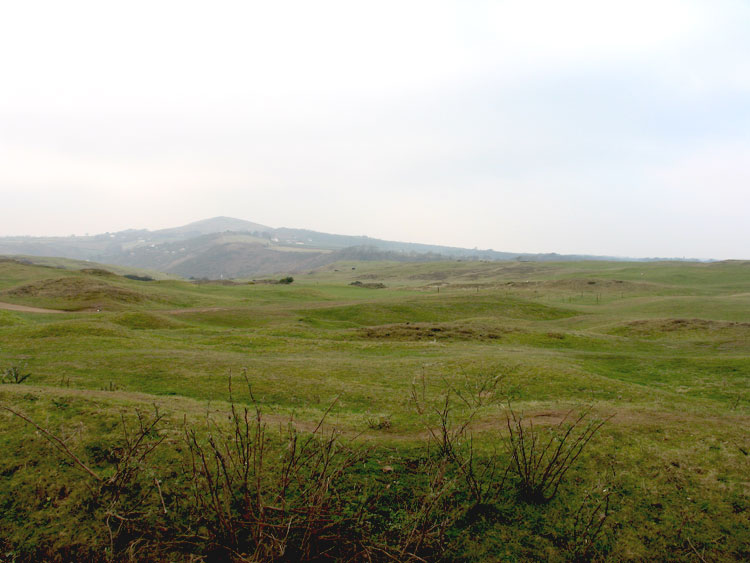
The historic landscape area of Penmaen and Pennard Burrows encompasses the extent of besanded landscape at Penmaen and Pennard burrows. The full extent of the besanded settlement is unknown and therefore may extend beyond the boundaries of this character area.
This area evidently played a significant role in human activities over a range of periods spanning from at least the Mesolithic to the Medieval period. A variety of flint tools have been recovered from the sand (00276w, 00277w, 00923w, 03161w, 00291w, 02099w) consisting of split pebble cores, flakes, scrapers and arrowheads, dates for which have been assigned to the later Mesolithic, the earlier Neolithic and later Neolithic or early Bronze Age. It is likely that nearby caves such as Leathers hole were used for shelter during this time.
A megalithic-chambered tomb (SAM GM123; 00250w; 94571) of Severn-Cotswold type is situated on Penmaen Burrows. Dating to the Neolithic the monument is cruciform in plan consisting of an eastern entrance passage, main chamber with a semi-collapsed capstone, a well-preserved southern side chamber and a ruinous northern chamber. Excavations between 1861 and 1893 revealed animal bones, a large quantity of shell, a bone handle, pottery and disarticulated human remains. Three cairns (00275w) possibly dating to the Bronze Age have been reported on Pennard Burrows, however, due to shifting wind blown sand it has been impossible to locate these recently and no further information is available.
Penmaen burrows formed part of the knight's fee of Penmaen, and Pennard burrows belonged to the demesne manor of Pennard from at least the thirteenth century. It is likely that this area was the location of the early settlements relating to the fee and manor. In relation to the fee of Penmaen, its initial location is documented as the 'Vill of Penmaen' between the present day Parc le Breos and Parkmill in a transfer document dating to the thirteenth century (Toft 1989, 34-37). It is thought that the focus was later shifted to a coastal position, attested to by the remains of a castle (SAM GM129; 00300w; 305605) and church (SAM GM130; 00287w; 305604). However, excavation in the 1960s by Alcock dated the ringwork to the late twelfth century, earlier than the mention of the vill of Penmaen. Some confusion therefore remains as to the exact nature of the beginnings of Penmaen on the burrows. A fourteenth century deed refers to two vills within the fee of Penmaen; Worlang and Penmaen (Toft 1989, 34-37), it could be said therefore that Penmaen referred to settlement at Church Hill, Parc le Breos whilst Worlang referred to settlement on the coast. Seyler (1920) argued that the full name for this lower settlement was Stedworlango and has identified land parcels belonging to this settlement north of the burrows. There remains, therefore, little direct evidence of a deserted medieval settlement (00883w; 15435) at Penmaen. A National Trust survey carried out in 2002 by Phillip Poucher highlighted the fact that the 'siting of medieval castles and churches in relative isolation is common in this area', but features in the dunes could be the remains of further medieval buildings. Reverend Edward Knight James excavated the church at Penmaen burrows in 1861, a thurible was recovered dating to the thirteenth century, however, the exact date of the church is unknown.
A deserted settlement has also been suggested at Pennard (00884w; 15437). Pennard castle (SAM GM044; LB 11539 II*; 00285w; 94530) was initially constructed as an earth and timber castle in the early twelfth century, rebuilt in stone in the late thirteenth century, the remains of which are visible today. Excavation in the 1960s by Alcock revealed remains to be quite extensive and the site was likely to have been the centre of the early manor of Pennard. Remains of St Mary's church (SAM GM044; 00288w; 305606) constructed in the thirteenth century are located nearby consisting of nave and chancel. Evidence of a deserted settlement at Pennard is better established than at Penmaen with the excavation of building remains interpreted as a peasant's croft in the 1980s by Glamorgan-Gwent Archaeological Trust as well as documentary evidence referring to other buildings in addition to the castle and church (Latimer-Davies 1928).
By 1316 the burrows at Pennard were already in existence as William de Breos grants his 'sandy waste' to his huntsman William (Lees and Sell 1983). Encroachment by sand gradually increased leading to final abandonment of the area sometime in the sixteenth century; this was also the case at Penmaen. During the post-medieval period the area was used as a rabbit warren with pillow mound, however, this dates back to the medieval period when a pillow mound (00292w; 24490; 303000) thought to be contemporary with the castle was constructed in the area; there is documentary evidence of a rabbit warren across the bay at Pennard c.1320. The burrows were noted as common land and therefore probably used for grazing from the post-medieval period. The only other activity at this time was quarrying of the cliffs on the periphery of this area and the production of lime; quarries and limekilns are depicted on the first edition OS map.
Sand continued to cover the area and the landscape we see today is not dissimilar to that of the mid-nineteenth century. Off course the sand still shifts and erodes revealing archaeological evidence at one location whilst covering it over at others. The area is still designated as common land although it is unknown whether it is still used for grazing. Part of Pennard burrows is home to Pennard Golf Club, golf is reputed to have been played in the area since at least 1896 (http://www.pennardgolfclub.com/).