Gower
055 Nicholaston Woods

HLCA055 Nicholaston Woods
Wooded cliff landscape: ancient woodland; prehistoric domestic defensive settlement; post-medieval agri-industrial activity; possible medieval associations; and tracks/footpaths. Back to Map
Historic Background
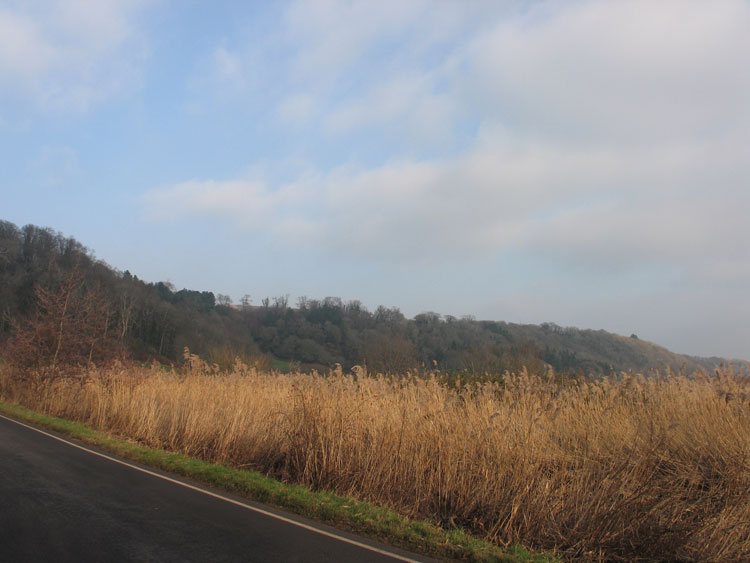
The historic landscape area of Nicholaston Woods is equivalent to the extent of wooded area located on a south facing steeply sided cliff edge looking out over Oxwich bay beneath Nicholaston village and the ridge of Cefn Bryn. This area survives as one of the few remaining sections of ancient woodland on a cliff top location.
A promontory fort (00280w; 54485) sited in a naturally defensive location provides the earliest evidence for this area. Dated to the Iron Age by a small fragment of pre-Roman pottery discovered by Rutter in 1949, it is likely that this site also continued in use during the medieval period; RCAHMW suggest a twelfth century date for the site. Other finds from the site include a flint flake and a pot boiler. There is a documentary reference to a castle at Nicholaston (03212w), however, the source of this reference is not known and the location is somewhat debatable. There is also reputedly to have been a church within this area, claimed to be the original church of Nicholaston. It is said that ruins were visible in this area before the Second World War.
Other features recorded in the area relate to post-medieval quarrying and lime production, similar to other woodland areas on Gower, such activities were also likely to be common during the medieval period although no direct evidence is found in this character area. Crawley rocks cavern (01423w), discovered during quarrying at the end of the eighteenth century was eventually quarried away completely. Excavations at the cave during the 1830s revealed the remains of animal fauna, including rhinoceros, elephant, hyena, red deer and ox. Associated limekilns are depicted on the first edition OS map. The woodland was also managed through coppicing during the post-medieval period most likely for charcoal burning.