Gower
052 Oxwich Bay and Three Cliffs Bay Intertidal Zone
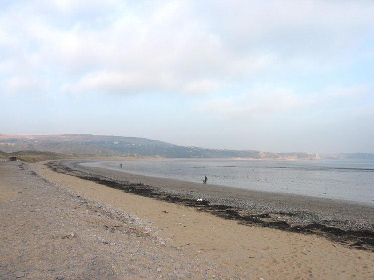
HLCA052 Oxwich Bay and Three Cliffs Bay Intertidal Zone
Intertidal landscape: sandy beach; Roman and medieval finds; marine exploitation; trade and transportation; and shipwrecks. Back to Map
Historic Background
The historic landscape area of Oxwich Bay and Three Cliffs Bay Intertidal Zone is defined as the area of beach between the mean high and mean low water mark as depicted on 1:10000 OS map.
The earliest evidence for the area dates from the Roman period in the form of a fourth century coin (03053w). It is likely that the bay was exploited for sources of food over many periods dating back to the prehistoric period. The nearby burial chamber at Penmaen Burrows and the Iron Age enclosures at Oxwich indicates early settlement in the surrounding area.
This area was probably important for fishing and trade during the medieval period. Nearby deserted settlements of Pennard and Penmaen, now covered by sand, include remains of churches and a castle. A complete jug dated to the fourteenth century was found in the sands (03000w; 03054w). Like Port Eynon quarrying and shipping of limestone, alongside the inshore fishing trade, was important to the inhabitants of the surrounding areas and provided considerable employment and income, especially during the post-medieval period.
Six shipwrecks have been recorded as being wrecked in the bay itself with many more at Oxwich Point and Pwll Du head. Little details of the events themselves are recorded, the ships are named as follows Althea (date unknown), Albermarle 1763 (274304), Perseverance 1884, United Friends 1894, Richard 1889 (273920) and Notre Dame de France 1906.