The Historic Landscape Character Areas (HLCAs)
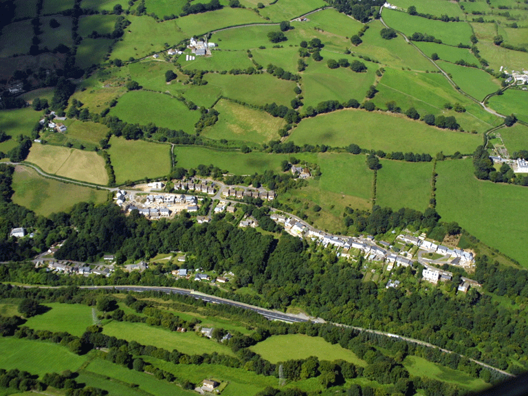
HLCA 001 Maesygwartha and Llanelly Iron Working Area
Early post-medieval industrial landscape associated with the Hanbury family of Pontypool: furnace and forge sites of 17th century date; metal processing - Tinworks site; early iron workers' housing and associated 17th century gentry house; early industrial transport links; important historic associations; industrial water supply.Back to Map
Click here for further information about this Historic Landscape Character Area
Click here for a character area map
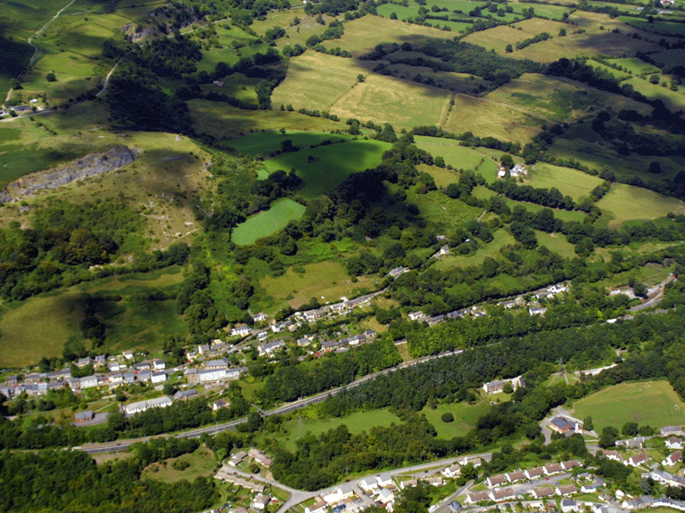
HLCA 002 Clydach North (Cheltenham)
Post-medieval industrial settlement associated with local iron and limestone production; industrial workers' housing; non-conformist Chapels.Back to Map
Click here for further information about this Historic Landscape Character Area
Click here for character area map
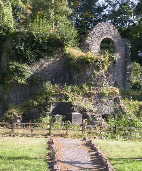
HLCA 003 Clydach South
Nationally important industrial landscape dominated by 18th century ironworks (excavated) and associated settlement; nucleated-organic and ribbon settlement pattern with early ironworkers' dwellings; non-conformist Chapel; mid-20th century pre-fab dwellings; industrial rail; bridges; and industrial water supply.Back to Map
Click here for further information about this Historic Landscape Character Area
Click here for character area map
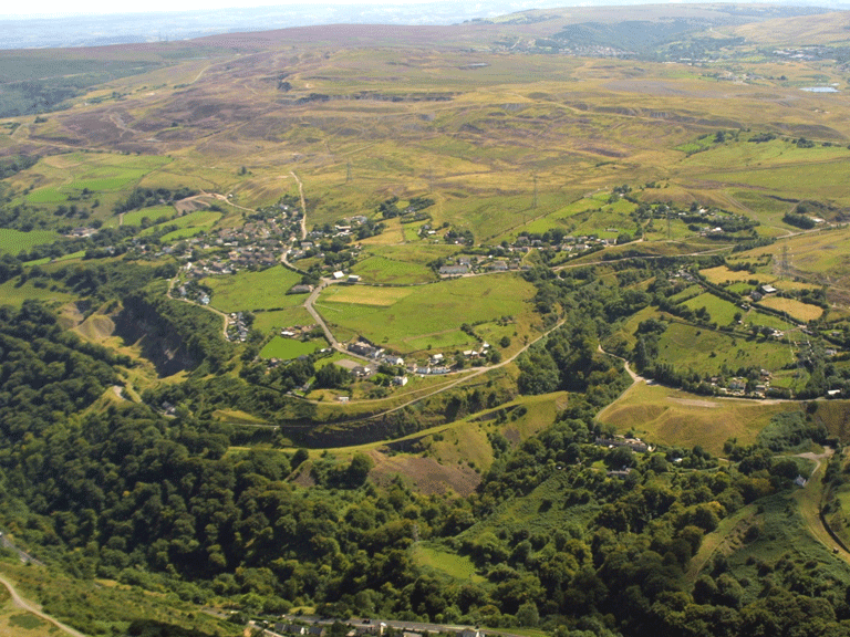
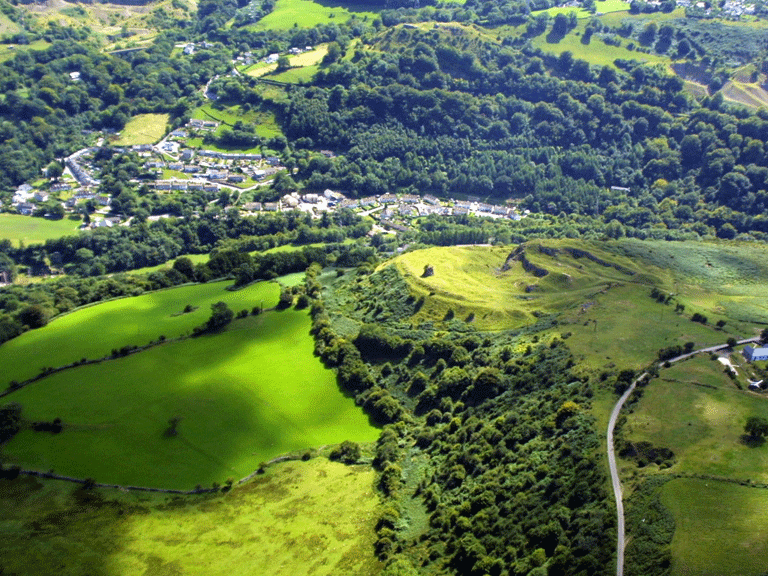
HLCA 004a Cwm Clydach Transport Corridor and HLCA 004b Darren-Ddu/Blackrock Transport Corridor
Transport corridor (industrial and public), rail and road with associated features including bridges; quarries and limeworks; water supply features; upland pre-historic settlement (hill fort); varied agricultural enclosure and scattered post-medieval agricultural settlement and isolated short rows of industrial housing; Ancient Woodland.Back to Map
Click here for further information about this Historic Landscape Character Area
Click here for character area map
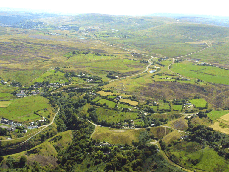
HLCA 005 Gellifelen
Mining landscape of industrial workings including prominent waste tips; scattered post-medieval agricultural settlement and semi-industrial landholdings; minor stretches of industrial rail and varied lanes and tracks and bridges.Back to Map
Click here for further information about this Historic Landscape Character Area
Click here for character area map
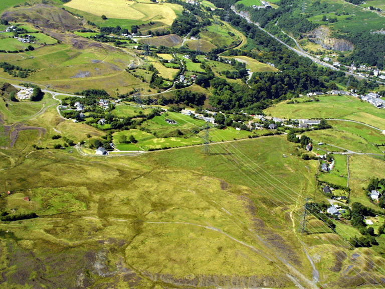
HLCA 006 Darrenfelen and Cwm Dyar-fach Enclosed Upper Valley Side
A mixed dispersed industrial/agricultural settlement landscape; industrial settlement with squatter origins; industrial housing predominantly short rows; industrial rail/tramroad features and bridges; pre-industrial buildings and associated regular field pattern of medium-sized fields; distinctive field boundaries; prehistoric settlement (hillfort).Back to Map
Click here for further information about this Historic Landscape Character Area
Click here for character area map
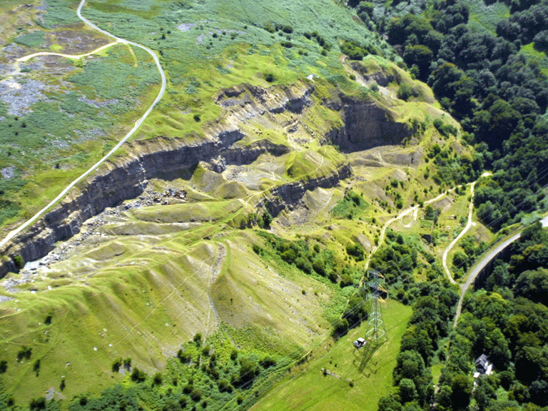
HLCA 007 Clydach Limeworks and Gilwern Quarry
Late 19th century quarries and limeworks and associated features; industrial transport.Back to Map
Click here for further information about this Historic Landscape Character Area
Click here for character area map
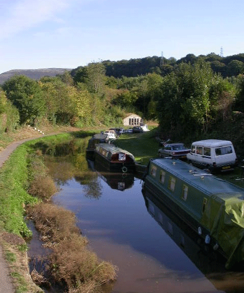
HLCA 008 Gilwern
Industrial railroad/tramroad and canal corridor and junction; canal wharfs; industrial rail/tramroad and canal settlement; commercial centre; ribbon development augmented by later 20th century infilling; industrial manufacture and milling; water supply.Back to Map
Click here for further information about this Historic Landscape Character Area
Click here for character area map
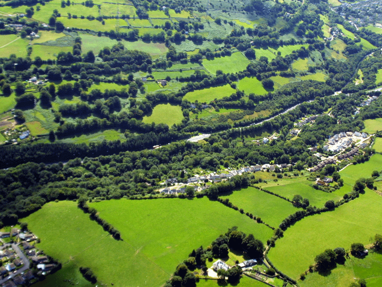
HLCA 009 Maesygwartha and Rhonos-uchaf Enclosed Valley Side
Varied and rationalised agricultural landscape; industrial farms and farm buildings; gentry villa with associated gardens; non-conformist chapel with manse.Back to Map
Click here for further information about this Historic Landscape Character Area
Click here for character area map