
From April 1st 2024, Glamorgan Gwent Archaeology is part of Heneb: The Trust for Welsh Archaeology
GGA is one of the four regions of Heneb: The Trust for Welsh Archaeology. Originally established in the mid 1970s, the Trust has the object of educating the public in archaeology.
The regions are based on the county areas of Clwyd Powys, Dyfed, Glamorgan Gwent and Gwynedd. We provide a large range of archaeological and heritage services, including the management of the Historic Environment Record, undertaking archaeological research, excavations, survey, publishing reports, the production of advice, information, training and the presentation of knowledge. The Trust is an independent limited company with charitable status that employs professional archaeological and heritage staff.
Services


News

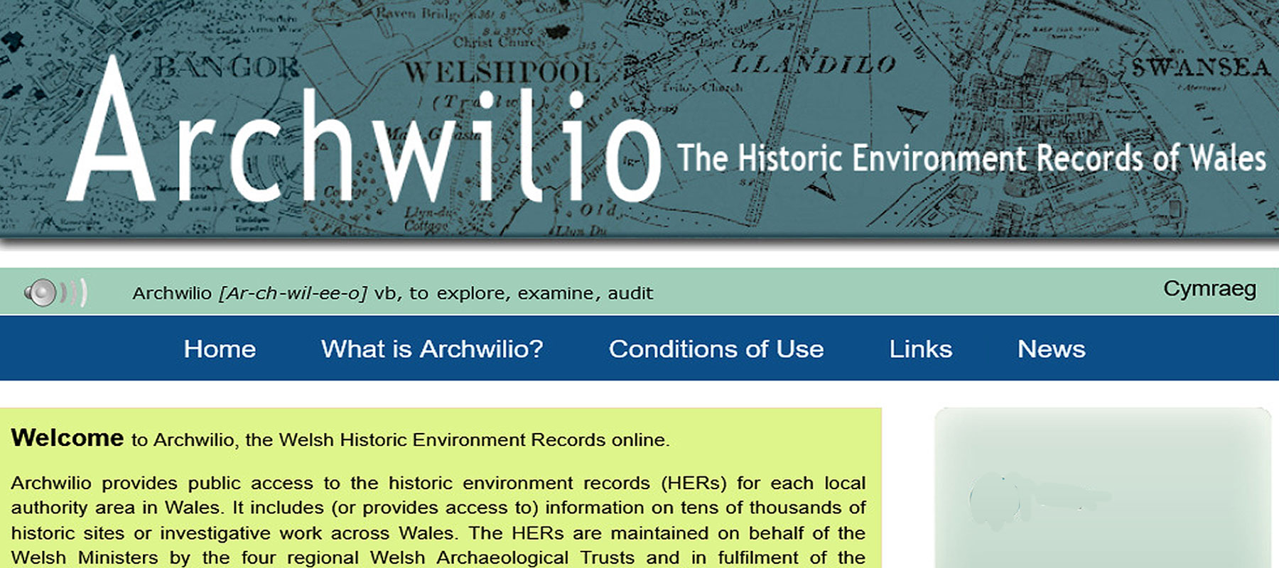
Archwilio at the 2022 CIfA Innovation Festival
The four Welsh Trusts Historic Environment Records online website ‘Archwilio’ will be one of the topics covered at the Chartered Institute for Archaeologists Innovation in Archaeology Festival. The festival provide an opportunity to showcase and celebrate the innovative practices and approaches being undertaken across the historic environment sector and runs […]

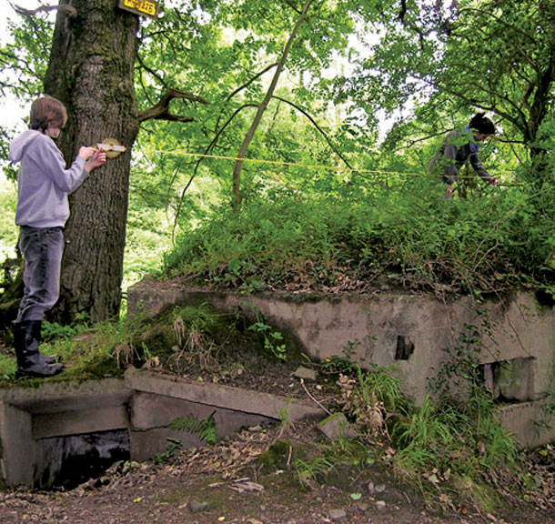
Wesleyan Chapel, Llantwit Major
GGAT are excited to be contributing to the renovation and conversion of the Wesleyan Chapel at Llantwit Major. The chapel was built in 1847 and was used for religious worship for over 150 years, but in recent years has been unoccupied and falling into disrepair. Regeneration Design and Management are […]

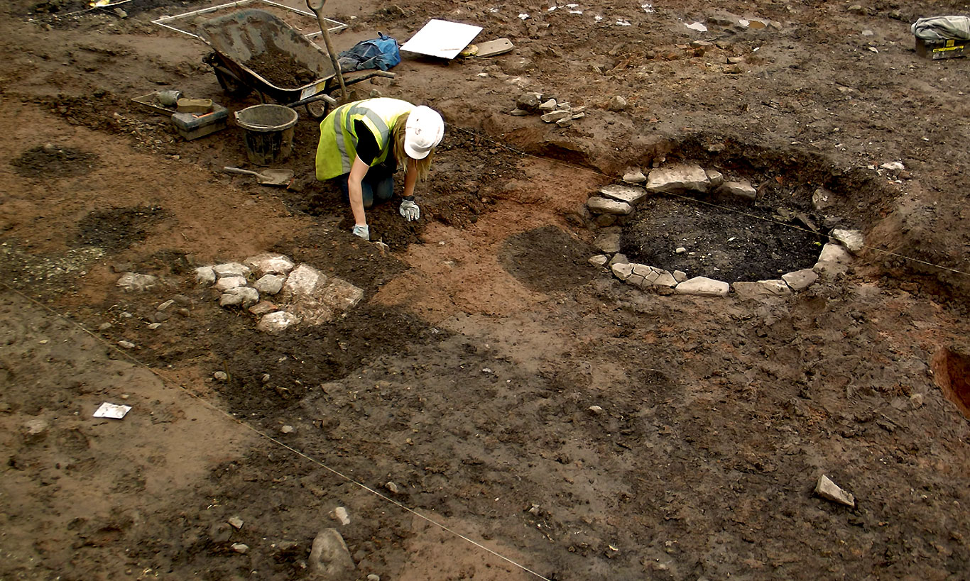
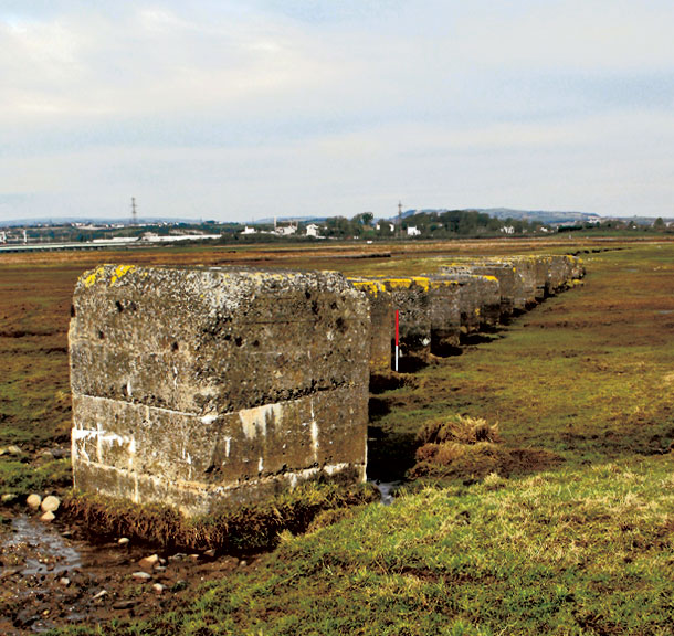
The Cardiff Castle ‘Dodecahedron’
In 2006, GGAT undertook major archaeological excavations inside Cardiff Castle – which is the site of four sequential Roman forts and a medieval castle, the latter converted into a mansion by the Bute ironworking dynasty. The ‘post-excavation’ programme is ongoing, with analysis of the artefacts now nearly complete (visit our […]
Our Address: Registered Head Office: Corner House, 6 Corner Street, Llandeilo, SA19 6AE
Regional Office: SA12 Business Centre, Seaway Parade
Baglan Energy Park. Port Talbot
SA12 7BR