Historic Landscape
Characterisation
Merthyr Tydfil
073 Mynydd Aberdare
HLCA 73 Mynydd Aberdare Enclosed upland grazing; regular post and wire fenced enclosure; religious, funerary and ritual landscape.
Click here for a
character area map
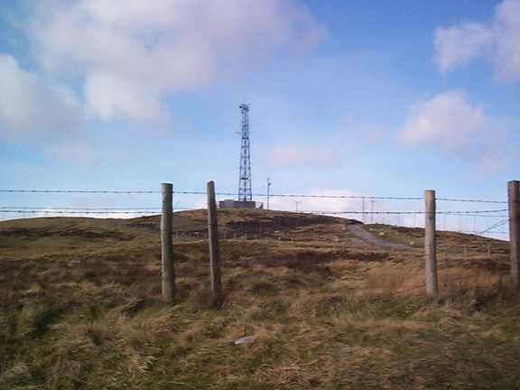
(Photo: GGAT Merthyr 073)
Mynydd Aberdare character area: enclosed upland landscape.
Summary
An enclosed upland landscape characterised by Bronze Age funerary monuments and modern communication masts.
Historical background
The historic landscape area of Mynydd Aberdare is located at the north western edge of the Merthyr Tydfil Historic Landscape, rising to the Mynydd Aberdare ridge. Although mostly open ground, it has a diverse and complex pattern of past land-use. The crest is followed by a series of Bronze Age Cairns, but other evidence of early activity is lacking. In the early post-medieval period, much of the area of the lower slopes was enclosed, and parts of the resulting fieldscape survive, notably north of the A465.