
The Core Ironworks Areas
Year 1
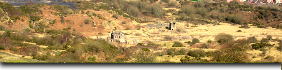
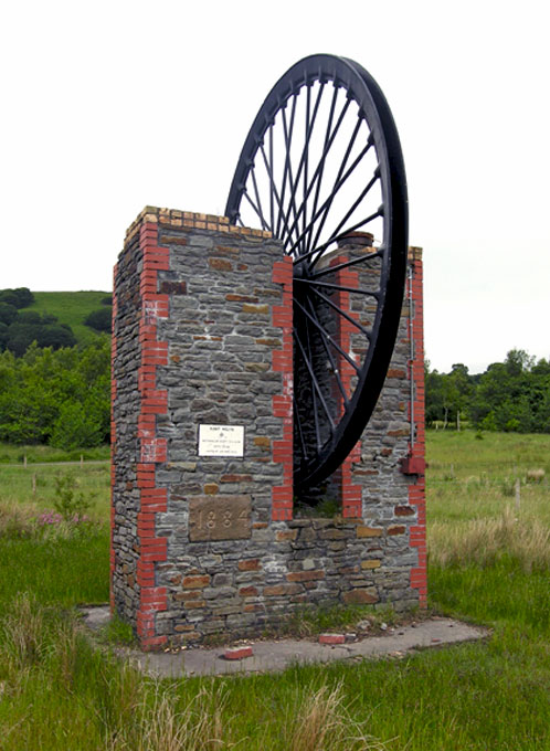
The Southeast Wales Industrial Ironworks Landscapes Project was concerned with identifying, quantifying, mapping and describing industrial landscapes and features associated with the coke-fired ironworks of the Heads of the Valleys area. This project allowed the survival and condition of the resource to be assessed, potential threats and levels of protection were established, and a series of recommendations for management and further protection were made. The project was spread over six years between 2004 and 2010.
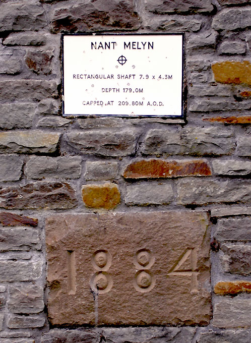
Year 1 (2004-05) of the project dealt with the core ironwork areas within the study area. This was primarily a desktop study which included a rapid mapping exercise, primarily using cartographic and aerial photographic information, with more detailed, but limited map regression, tied into baseline HER and NMR information, to identify and describe the resource, and assess the survival, condition and significance of core ironworks areas, with verification through targeted site visits. The study identified 35 core ironworks (comprising a total of 38 polygon areas), 18 of which were newly identified sites, and 21 HER registers were amended.
The Year 1 report is provided as a Pdf document in seven downloadable sections: