Lower Wye Valley
036 Troypark Wood
HLCA 036 Troypark Wood
An area of Ancient Woodland (wider setting of HLCA038) with small enclosures and sheepfolds; traditional boundaries; industrial archaeology: quarries; cider mill; communication features; settlement pattern: rare dispersed farmstead and other minor structures. Back to map
Historic Background
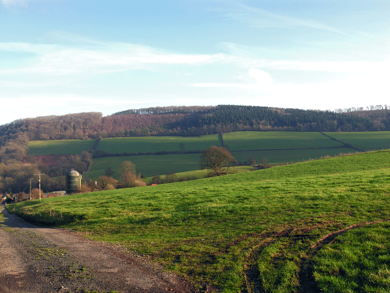
The historic landscape area of Troypark Wood is an area of ancient woodland which forms a long thin band on top of the ridge and slopes which separate the Trothy and Wye Valleys, and encompasses the following woods: Lydart Orles Wood; Graig Wood; Troy Orles; Troypark; and the Livox. Its boundaries are defined by the extent of the ancient woodland, and by the River Wye to the north. Historically it fell within the parish of Mitchell Troy, which was part of the manor of Trellech, traditionally held by the Dukes of Beaufort. The woodland, part of Troy estate, was initially purchased by the fourth Earl of Worcester around 1600 and remained in this family (later the Dukes of Beaufort) until purchased by Edward Arnott.
There is no evidence for activity here before the post-medieval period, when there is significant quarrying activity associated with the local grindstone industry, as well as several unfinished stones left in situ. Additionally, there is a cider mill of the same period. Agricultural activity in the area also dates to this period, and is represented by some small buildings associated with enclosures and a sheepfold.
The northern part of the character area fell within Troy Park, the pleasure grounds associated with Troy House (HLCA038). This is still defined by a boundary wall which encloses the northeast part of the area (which includes the Livox Wood SSSI) with the house and grounds, and separates it from the remainder of the woodland to the southwest.
Historic Landscape Characteristics
Troypark Wood is characterised by ancient woodland, which consists of mixed broadleaf woodland. The 1881 First Edition OS maps show the woodland extending further to the east, into the adjacent fieldscape (HLCA 037) than its current extent. It exists mainly as ancient replanted woodland, although the north part of the area, on the northeast-facing slopes directly above the River Wye, is ancient semi-natural woodland. This part of the area, known as Livox Wood, is protected as a SSSI (46/33WGG).
Industry is an important characteristic of the area; there has been significant industrial activity in the area. Disused sandstone quarries of post-medieval and modern dates survive, although they are not depicted on historic maps. These areas of quarrying are on the steep upper slopes of the ridge, and in one case unfinished grindstones are evident. One area of quarrying is associated with a platform terraced into the north-facing slopes just below the quarry. Further industrial activity can be seen in the character area in the form of a cider mill, (PRN 07454g) associated with the farmstead (PRN 07453g).
Settlement in the area is sparse, whilst there are no currently occupied dwellings in the area, dispersed and isolated relict settlement features are found, such as the farmstead (PRN 07453g) possibly associated with Lower Graig Farm on adjoining agricultural land, and also by an additional building, rectangular in shape, present from the tithe map and later maps. Specifically this settlement includes a house, walled enclosures, and an entrance track, as well as the cider press (PRN 07454g). Additionally, a small rectangular enclosure presumed to be a sheepfold (PRN 07457g) recorded on the Second Edition OS map (1901). These features also relate to characteristic agricultural activity, while the woodland is partially divided up into small irregular enclosures, possibly associated with former agricultural use; the boundaries are formed of dry stonewalls, and earth banks with hedges.
This character area is also closely associated with adjoining character areas to the west, Troy Farm Fieldscape (HLCA 037) and Troy House (HLCA 038); the north part of the area fell within Troy Park, and the park boundary wall runs through the woodland on an east-west alignment. This impressive and characteristic sandstone boundary wall with its possible associated ditch on the inner side, survives to a maximum height of 2m and width of 0.8m.
Communication in the area takes the form of tracks and paths, and there is also a hollow way (PRN 07459g) in the south of the area, descending from the hill running to the northwest, which is associated with quarrying activity on either side.