Lower Wye Valley
033 The Garth and Wyesham Fieldscape
HLCA 033 The Garth and Wyesham Fieldscape
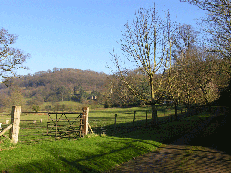
Varied agricultural landscape: medium-sized slightly irregular fields (result of field amalgamation) and regular fields); traditional boundaries; settlement pattern: loose dispersed scatter of farmsteads and cottage, country house/vicarage (the Garth); communication features; ecclesiastical/monastic association: the Garth (medieval hermitage and appropriated church/monastic landholding); potential relict/buried archaeology: medieval settlement/fields; historic associations. Back to map
Historic Background
The historic landscape area of The Garth and Wyesham Fieldscape is an agricultural fieldscape occupying the lower hill slopes of the Wye Valley between the settlements of Wyesham and the Kymin. It falls within the parish of Dixton in the manor of Hadnock, the main landowner during the mid-nineteenth century was the Duke of Beaufort, and the occupation divided among small tenants.
The earliest evidence of activity here is medieval in date; the area is closely associated with Monmouth Priory and with John of Monmouth (1190-1248). There was a hermitage known as 'The Garth', granted in 1229 by John of Monmouth to the hospital he had founded in Monmouth (Bradney 1904, 24). This is considered to be located at the site of the present house bearing the same name (Kissack 1974, 23). It is unclear to which hospital the grant refers, although it is known that John of Monmouth was responsible for the later foundation of a hospital of St John in 1240, for the poor, aged and sick, later given by his son to Monmouth Priory. According to Rees a church known as the Garth was appropriated to Monmouth Priory was extant here in the fourteenth century (Rees 1932, SE sheet).
The post-medieval occupation in the area is dominated by The Garth, which was built around the early nineteenth century, on land belonging to the Beaufort family, by Henry Davies and occupied by him and then his son, until their lease expired in 1890, at which point it was sold (Bradney 1904, 24).
Dixton Lodge (Grade II Listed Building) was the former vicarage built in 1870 as the Rectory for St. Peter's, Dixton. The tithe map of 1845, however, depicts an earlier vicarage on the same site. The present house, now a private residence, is attributed to J P Seddon, the architect and surveyor to the Archdeaconry of Monmouth and consulting architect to the Incorporated Church Building Society, who was also responsible for the restoration of Dixton parish church.
Though the current mixture of dry pasture, meadow and arable is largely unchanged from that depicted on the tithe map, the latter map and subsequent mapping indicates that the area has experienced considerable field amalgamation during the latter part of the twentieth century. The current varied fieldscape of largely medium sized fields originally comprised more irregular small and medium sized fields, in particular the area to the south near Sky Farm. Similarly, the settlement in the area has remained essentially unchanged since the tithe map, in stark contrast to the adjoining area of Wyesham.
Historic Landscape Characteristics
The Garth and Wyesham Fieldscape is characterised today as a varied amalgamated fieldscape of medium sized slightly irregular fields. The field boundaries are mainly hedges, though also include stone-faced earth banks with post-and-wire fencing. At the southern and northern margins of the area, the boundaries largely comprise hedgerows with distinctive hedgerow trees, likely reflecting woodland clearance.
The settlement of isolated farms and residences largely unchanged in layout from the mid-nineteenth century also contributes to its character. The most important residence in the area is the mansion house, 'The Garth' (PRN 02277g, NPRN 36903), probably built around the early nineteenth century and first depicted on the tithe map (1845) occupying the south-facing hillside in the north of the area, backing onto the Highmeadow Woods (HLCA019).
Dixton Lodge (NPRN 36811, LB 85193 Grade II) is the former vicarage built in 1870 as the Rectory for St. Peter's, Dixton. The present house of two storeys and with a three bay entrance on the west side is in the Tudor Gothic style and constructed of coursed red sandstone rubble with ashlar dressings, and slate roof.
The additional settlement in the area consists of a single isolated cottage in the south of the area, labelled as 'Woodbine Cottage' on the First Edition OS (1890) but now known as 'Woodside Cottage', and a farm close by, now known as 'Sky Farm'. Both of these buildings were in place by the mid-nineteenth century (tithe map of 1845).
The historic and ecclesiastical associations on the landscape also provide a further characteristic; the later residence of 'The Garth', is considered to be the location of an important medieval ecclesiastic site. The first reference to The Garth is in the ,em>Calendar of Documents Preserved in France in 1186 (Brook 1988, 78), while the hermitage of the Garth is also mentioned in a grant of 1229 relating to John of Monmouth (Bradney 1904, 24). Work by the Ordnance Survey, however, did not find any remains of medieval buildings.