Llancarfan
006 Llanvithyn and Llancarfan Agricultural Plateau
HLCA 006 Llanvithyn and Llancarfan Agricultural Plateau
Amalgamated medieval/post medieval field; relict and buried medieval and prehistoric archaeology; dispersed settlement; ecclesiastical associations; communications; agri-industrial features Back to Map
Historic Background
The historic landscape area of Llanvithyn and Llancarfan Agricultural Plateau represents an area of land that appears to be the product of large-scale industrial farming. The plateau overlooks the steep sided-valley of Nant Llancarfan to the southeast and is located within the parish of Llancarfan, and the former hamlets of Llanvithyn, Llanbethêry and Llancarfan. The area had formed part of the Early-medieval cantref of Penychan and the later Hundred of Dinas Powys.
Evidence for pre-medieval activity within the character area itself is generally poor, though a number of possible prehistoric enclosures have been identified from aerial photographs (NPRN 309,452; PRN 03122s), and prehistoric ritual activity is represented by a Bronze Age standing stone (PRN 03813s). The possible existence of Roman occupation sites within the area should also not be overlooked, a find of Roman coins (PRN 02961s) certainly indicates activity in the area during the period.
The medieval period is represented by earthwork remains to be found at Pancross (NPRN 307,703; PRN 00904s), identified as an earthwork castle, or ringwork approximately 30 metres in diameter with a bailey to its west side (RCAHMW 1991, 122-123). The Royal Commission consider the ringwork to date from the twelfth century and have associated it with the Norman Umfraville family of Penmark, through land grants of the period. The antecedents of Phillip Payn, a customary tenant associated during the late 13th or early 14th century with Wrinston and Michaelston-le-Pit, may have given his name to the area; the Payn family's overlords were the Reignys and the Raleghs, who possessed the manor of Llancarfan, and who are known to have had connections with the Umfraville family (RCAHMW 1991, 122-123). The Royal Commisssion record the existence of old boundaries (NPRN 24,329) in the area to the south, and the cartographic evidence (tithe and 1st edition OS map) shows an area of more irregular enclosures in the area of the above mentioned ringwork, with a curvilinear boundary adjoining the ringwork site to the north, enclosing a sub-circular area of irregular enclosures, just over 70 acres in extent, with other boundaries (to the northwest) radiating outwards delineating rectilinear enclosures. An ecclesiastic association is possible as this area is recorded in the ownership of the Rev. Lisle and Meakham Birkin on the tithe map of 1840. The investigation of this area, with its close proximity to the Early-medieval site of Llancarfan, ecclesiastic ownership, close physical association with the remains of an identified medieval ringwork; the date of which is yet to be confirmed through excavation, could be significant to understanding the development of the agricultural landscape and settlement of the area.
Other earthworks (PRN 01023s), consisting of a simple platform cut into the hillside at Llanvithyn, have been identified as being of post-medieval date; whilst no evidence for a building was identified, pottery dating to the late eighteenth or early nineteenth century has been from the site (GGAT 2000).
The area was historically associated with the monastic settlement at Llancarfan, and in particular the settlement of Llanvithyn, the site of a grange (located within the adjacent HLCA 008) during the medieval period, associated with the Cistercian Abbey of Margam. The 1840 tithe plan indicates that some of the land to the northwest of Llanvithyn Farm and north of Pancross belonged to the Reverend William Lisle, possibly suggesting a continuation of ecclesiastical association.
Historic Landscape Characteristics
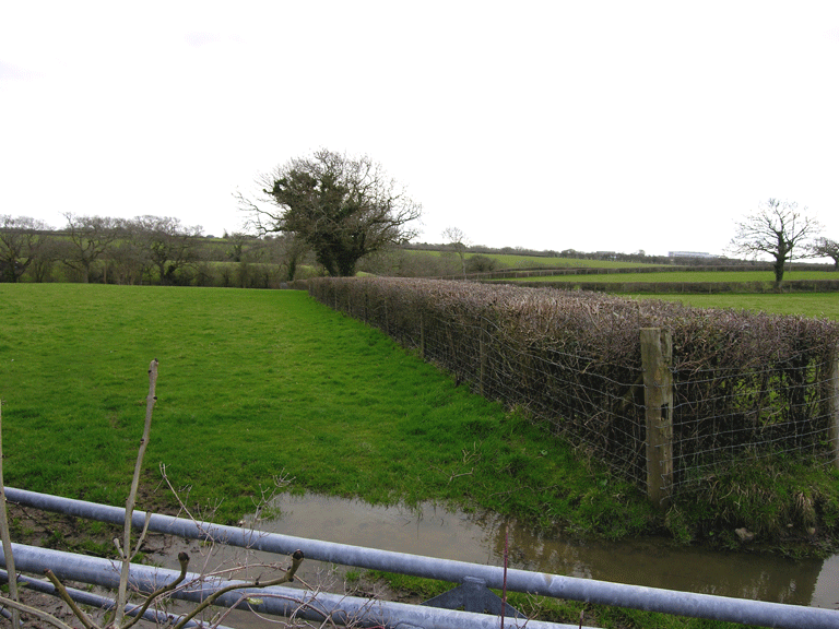
Llanvithyn and Llancarfan Agricultural Plateau is characterised as an amalgamated fieldscape that is the result of modern industrial farming practices. The majority of the area consists of very large fields under cultivation. This has seen the removal of many boundaries and although hedges still exist, post and wire fencing is common. As an area of former openfield, this area would have shared similar characteristics to other areas in Llancarfan and the area to the west (outside the boundaries of the historic landscape); unfortunately major agricultural alterations to the field pattern through amalgamation has masked much of the original character. A few surviving boundaries associated with area's former medieval and early post-medieval field system do survive towards the south and north of the character area, though these continue to be threatened by agricultural improvement. Here the landscape comprised smaller irregular enclosures with hedged and embanked boundaries.
Settlement in the area is characterised by dispersed farmsteads, at Pancross and Llanvithyn Farm. The farmstead of Pancross Farm, whilst retaining original features such as 6-paned sash windows, has been included within the current historic landscape character area, as much of the surrounding farm has been radically altered since the survey of 1st edition OS of 1879, with agricultural sheds of late 20th century currently now being the dominant characteristic of the farm. The isolated earlier agricultural outbuildings associated with the farm, which includes a barn converted to residential use at the cross road junction, survive and fall within the adjacent area to the south (HLCA005).
The area contains both relict and buried archaeological remains associated with previous settlement, such as the simple post-medieval platform earthworks at Llanvithyn (PRN 01023s), identified in association with late 18th century and early 19th century pottery. Of particular interest are the remains of a medieval ringwork and bailey castle at Pancross (NPRN 307,703; PRN 00904s) at the south of the character area, which until recently had survived as intact earthworks. The Royal Commission described the medieval ringwork at Pancross back in 1991 as being 'much mutilated', and recent agricultural activity has extensively damaged the monument further (GGAT Curatorial 2007). This site is representative of both settlement and defensive characteristics, as are the buried remains of possible prehistoric enclosures identified from aerial photographs (NPRN 309,452; PRN 03122s).
Communication links form another characteristic with a major north-south ridgeway route forming the western boundary of the area. There are also a number of paths and track ways, which cross the area linking with Llancarfan, Llanvithyn, and Garnllwyd within the Nant Llancarfan valley. The Valeways Millennium Trail also crosses through the area linking this character area HLCA 006 with the wider area of the Vale outside of the characterised areas and also to the characterised areas of HLCA 001 and HLCA 002.
Other minor characteristics of the area include that of prehistoric and funerary and ritual, evidenced by a standing stone (attributed to the Bronze Age) and an inhumation of potentially of prehistoric date and ecclesiastical associations, as the area was associated historically with the Early-medieval monastic focus at Llancarfan and a further possible site at Llanvithyn and later the Cistercian grange at Llanvithyn in the adjacent area (HLCA 008). There is also a minor agri-industrial characteristic to the area, represented by small quarries and limekilns noted on the 1st edition OS map, the condition of which is unknown.