Gower
085 Barland Common
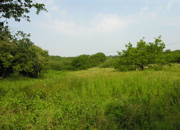
HLCA085 Barland Common
Unenclosed common land: unmanaged scrub; communication routes; water features; and buried archaeology. Back to Map
Historic Background
The historic landscape area of Barland Common equates to the extent of unenclosed common land known as Barland Common, essentially a small detached portion of remnant common that would originally have been part of an extensive area of common land or waste formerly extending from Welshmoor, Pengwern, and Fairwood common eastwards to Clyne Common.
Little is known of the archaeology of the area; this is limited to finds such as Samian ware, cooking pots and a brooch of 2nd century Roman date associated with nails and iron slag, which indicates some level of industrial activity in the general area (Morris 1962, 66). Whilst finds from the area and the immediate vicinity indicate activity during the Roman period, activity during other periods can only be inferred from evidence from the surrounding areas. It is likely, however that the area has been used for grazing in common since at least the medieval period.
During early post-medieval period Barland Common appears to have been reduced largely to its present extent, by encroachment, the adjacent areas being progressively enclosed and improved for agriculture during the fifteenth and sixteenth centuries. It is suggested that the fieldscape area of Wernllath to the north and east of the present common was the result of encroachment and enclosure of common land particularly during the sixteenth century as noted by the Earl of Worcester in the 1590s (Robinson 1968, 372, 375, 379). To the south the common has been further reduced, lost to limestone quarrying from the nineteenth century.