Gower
083 Newton Cliffs
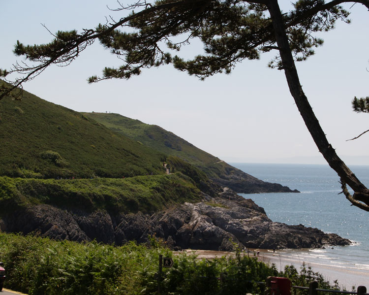
HLCA083 Newton Cliffs
Unenclosed coastal margin: findspots; and footpaths. Back to Map
Historic Background
The historic landscape area of Newton Cliffs equates to the extent of unenclosed cliff edge on the southeast coast of Gower between Langland and Caswell Bays, largely within the Caswell and Langland Bay Site of Special Scientific Interest (SSSI).
The southern part of Newton Cliffs comprise an area of steep limestone cliff, which fall from a maximum height of 68m OD to the Mean High Water mark to the south. The area was probably utilised from the prehistoric period, a single midden of unknown date is recorded in the area (00332w) and may, by inference to the immediate vicinity, date back to the Prehistoric. Early activity is attested to in the area by the presence of two Neolithic axes (00331w and 00468w) and the find of a flint. It is therefore possible that other prehistoric features or artefacts survive within the area, whilst the presence of a Roman coin in the area (03187w) indicates activity continued during that period.
There are several post-medieval and modern structures in the vicinity including a concrete structure of probable military origin (03104w). This may relate to other defensive structures in the nearby area of Mumbles Head and Rotherslade (HLCA 042) dating from the late eighteenth century until the Second World War. One of the main activities in cliff areas was the quarrying of limestone from the cliff faces and caves for transportation to elsewhere on the South Wales coast and Devon. This accelerated during the post-medieval period; and although no direct evidence has been identified of quarrying in this area it is possible that limestone was quarried from these cliffs as at Mumbles Head and Pwll Du.