Gower
016 Kennexstone and Tankeylake
HLCA016 Kennexstone and Tankeylake
Post-medieval/medieval agricultural landscape: varied/irregular fieldscape; relict medieval strip fields and traditional boundaries; medieval/post-medieval agricultural settlement; post-medieval farmsteads. Back to Map
Historic Background
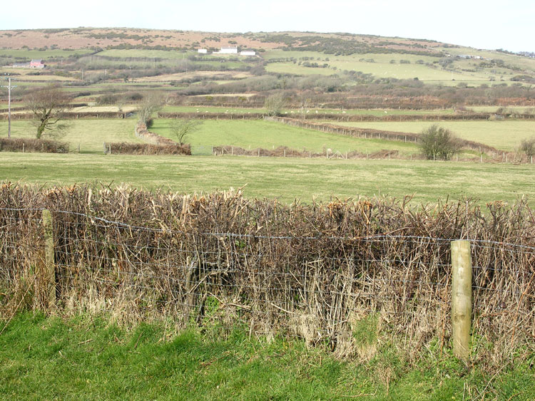
The historic landscape area of Kennexstone and Tankeylake represents an area of enclosed land to the north of the Llangennith Road bounded by Common land, Ryer's Down to east and Llanmadoc Down to the west, while to the north lies Cheriton Wood. The area formed part of the Manor of Priors Town, within the parish of Llangennith (Llangenydd), this in turn was located within the Welsh medieval Cwmwd of Gwyr, within the Cantref of Eginog. During the reorganization of the post-medieval period the area formed part of the Hundred of Swansea, within the County of Glamorgan.
Little specifically is known of the area's early history; it formed an outlying part of Llangennith. The earliest known features include a bank (02573w), which appears to be associated with the late prehistoric hillfort, the Bulwark, in the adjacent area HLCA 012, a medieval Chapel of Ease (00062w), at 'Church yard' Penmynydd, the foundations of which had been removed by the late-nineteenth century (Evans 2003) and Stormy Castle, is reputedly the site of the Llangenydd Castle, taken by the Welsh in 1252. No trace of this medieval castle site is currently known, despite its remains, which included a square building with round towers on the north side and two pigeon houses on adjoining plots of land, apparently surviving to a height of 20ft during the nineteenth century (Davies 1894, 160). This may be a misplaced reference in fact relating to the Castle at Llangynwyd, which would better fit the description.
The main element to survive from at least the medieval period in a recognisable form is the area's field system, which includes a number of fossilised quillets or medieval strip fields, relict elements relating to the former medieval open field system. The first edition OS map indicates little change had occurred in the field pattern since the eighteenth century, and in the period since only minor piecemeal amalgamation of a few enclosures appears to have been carried out.
The area includes the site of Kennexstone Farmhouse, a post medieval (mid-17th century and c.1700) single-unit, end-entry, hearth passage house with thatch roof scissor roof truss, charnel box, and bed cupboard in outer room; this was dismantled in 1951 and subsequently re-erected at the Museum of Welsh Life, St Fagan's (RCAHMW 1988, 534; Williams 2005).