Gower
015 Landimore and Llanrhidian Reclaimed Land
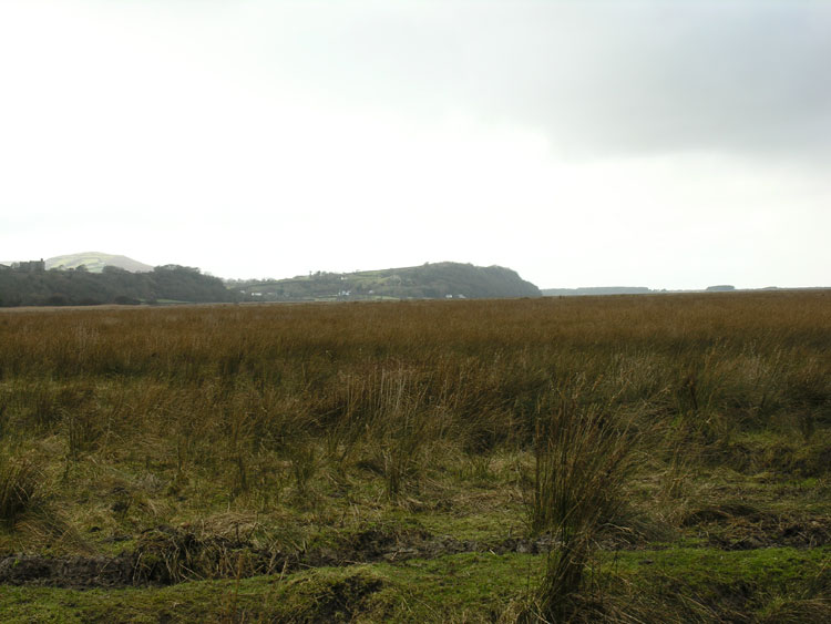
HLCA015 Landimore and Llanrhidian Reclaimed Land
Reclaimed wetland landscape: regular enclosure and agricultural features; drainage channels and water features. Back to Map
Historic Background
The historic landscape area of Landimore and Llanrhidian Reclaimed Land is defined by the extent of reclaimed saltmarsh along edge of Llanrhidian marsh between Landimore and Llanrhidian.
This narrow strip of land once forming part of Llanrhidian Marsh (HLCA 004) was probably reclaimed to the extent that it is today in the eighteenth century. This was more then likely a piecemeal approach over a number of years. Two main phases of reclamation have been identified; the first by a boundary representing the southern extent of this area enclosing fields known as 'salt meadow', the strip of fields to the north (i.e. those included in this HLCA) are named 'rushy marsh' in 1786 and appear to represent the system as having just been laid out (Locock 1996). The second phase was the drainage of these fields by the construction of large ditches mainly running south - north in Llanrhidian marsh. This was completed by 1844; the large outer bank has a ditch to the north and is sinuous. Use has been made of existing pills such as Leason, Great Pill and Llanrhidian Pill, to which the drainage ditches join.
A section of Llanrhidian Pill was canalized and directed for use for milling and probably formed a dual purpose in both water supply and drainage. This was also the case at Staffal Haegr where a woolen mill was established c.1820 by the Dix family. This mill was also connected by a leat to the water system of the mills at Llanrhidian. The mill lies just outside this area; however, some buildings most likely related to it are within this HLCA and may have been part of an early complex possibly dating from the medieval period.
The area remains very little changed since the publication of the first edition OS map, including the field pattern, though some of the fields, especially at the western end have become degraded. A few more buildings are located on the edge of this area near Staffal Haegr, which seem to have been there since the third edition OS map.