Blaenavon
HLCA 020 Coity Mountain
HLCA 020 Coity Mountain
Predominantly unenclosed upland landscape characterized by agricultural stock management, boundary markers and prehistoric funerary ritual features. Another main characteristic is industrial extraction given the numerous quarries and collieries once in the area. Historic events.Back to map
Historic Background
The historic landscape area of Coity Mountain encompasses Coity Mountain (north of Gwastad), Mynydd James and Mynydd Varteg Fawr (west). Activity possibly dates to the Neolithic period, represented by a standing stone on Coity Mountain (SO 21401028). However more activity relating to the Bronze Age is recorded, represented by round barrows along the ridge of Coity Mountain and Mynydd James.
During the medieval period pillow mounds were constructed on Coity Mountain close to the enclosed agricultural land of Highmeadow and Coity-canol farms. Boundary mounds from this date along Coity Mountain more than likely represent the parish boundary of Llanfoist and further north, the boundary stone known as Carreg Gywir, possibly of early post-medieval date, marks the civil parish boundary. A medieval trackway is still evident running across the mountain.
Post-medieval upland agricultural features, predominantly sheepfolds are present above Coity Pond and on Twyn-Carn-canddo (1st edition OS). A number of wells and springs are also scattered across the area; these may indicate areas of earlier seasonal agricultural settlement, though no evidence is available at present. Patches of early post-medieval encroachment onto the mountain and small-scale iron ore and coal workings exist from this period.
A number of quarries and collieries were in operation in the area during the nineteenth century. Quarries were sited at Cefn Coch, where evidence of hushing survives, and at Coity-mawr. The latter includes Coity Sandstone Quarry (SAM: MM279) opened pre-1844 to supply Pennant sandstone for Blaenavon Iron Company houses and Forgeside works. This site retains a cast iron self-acting winding drum. Collieries were located at Coity-mawr, Marquess Red Ash and Milfraen among others. A surviving ventilation shaft, associated with underground workings is located in the vicinity of Coity Mawr Quarry. Milfraen Colliery, the site of the 1929 explosion (closed in 1930), was connected by a tramway to the LNWR at Waun-avon.
Few domestic buildings existed on the mountain; there were a few farmsteads along the edge and a pub called the Grouse and Snipe. Near Coalbrookvale rows of workers' housing encroached onto the mountainside and Milfraen Cottages built c1865 for workers at Milfraen Colliery are now ruinous.
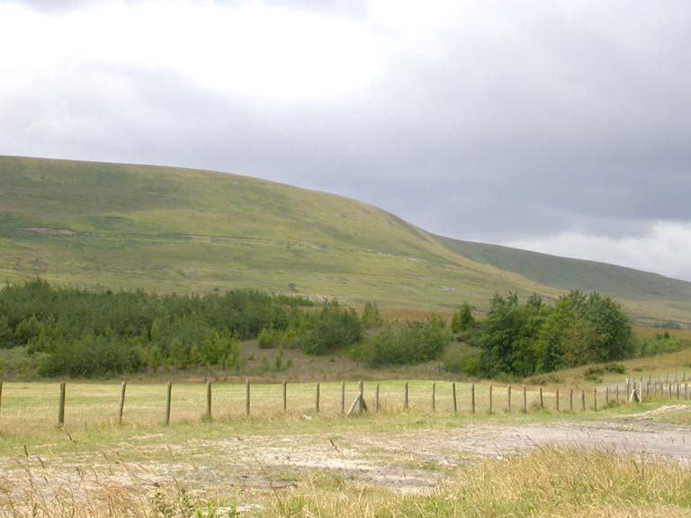
Coity Mountain is an open upland landscape primarily used today for grazing. It is characterized by prehistoric funerary and ritual features including standing stones and round barrows.
The ridge along Coity Mountain is a prominent feature in the landscape and has a long history of use as a boundary division between territories; the present day County boundary between Blaenau Gwent and Torfaen continues the tradition.
Industrial extraction is characteristic of the area from the early post-medieval period until the present day; with characteristic features including collieries, quarries, hushing scars, a ventilation shaft, winding drum and associated drainage ditches in various states of preservation. The extractive characteristic continues to the present near the disused Coity Quarry at Blaentillery Drift Mine No. 2.