Blaenavon
HLCA 017 Mynydd y Garn-fawr
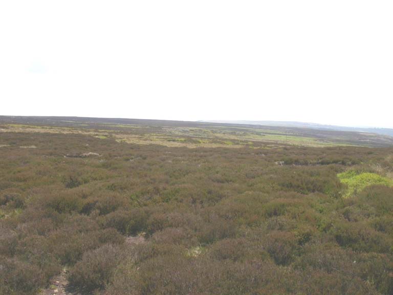
HLCA 017 Mynydd y Garn-fawr
Unenclosed upland landscape characterised by pre-historic funerary/ritual features and livestock grazing. Very minor industrial features mainly boundary marker stones.Back to map
Historic Background
The historic landscape area of Mynydd y Garn-fawr reflects the limits of the unenclosed land and main industrial extractive area. Activity in the area dates back to at least the Bronze Age represented by a number of round cairns situated on the mountain, including Carn-y-Defaid North and South cairns (SAM: MM209), Carn y Big Fach and Carn y Capel.
Some post-medieval encroachment and minor industrial activity is evident in this area; a quarry with small associated settlement was present at Cefn-y-lan from the early nineteenth century. Other minor quarries on the outskirts of the area along with a limekiln were probably for agricultural use. A reservoir and associated leats were present at Pwll Mawr.
The area is currently open moorland and used for grazing.
Mynydd y Garn-fawr is characterised as a predominantly unenclosed upland moorland landscape with characteristic prehistoric funerary and ritual features. Carn-y-Defaid consists of two round stone cairns, composed of large stones, on the summit of the ridge to the south of the Blorenge. The largest has a diameter of 16m and is 1.8m high, the smaller has a diameter of 14m and is 1-1.5m in height.
Also characteristic of the area are features associated with upland agriculture and land division; sheepfolds and areas of post-medieval intake and encroachment are characteristic features as are boundary markers, which include banks and early twentieth century cast iron posts engraved with PG&W Co.