Historic Landscape
Characterisation
The Rhondda
036 Cilely and Rhiwgarn
HLCA 036 Cilely and Rhiwgarn
Relict agricultural landscape; distinctive boundaries; medieval encroachment;
possible medieval settlement and associated agricultural features.
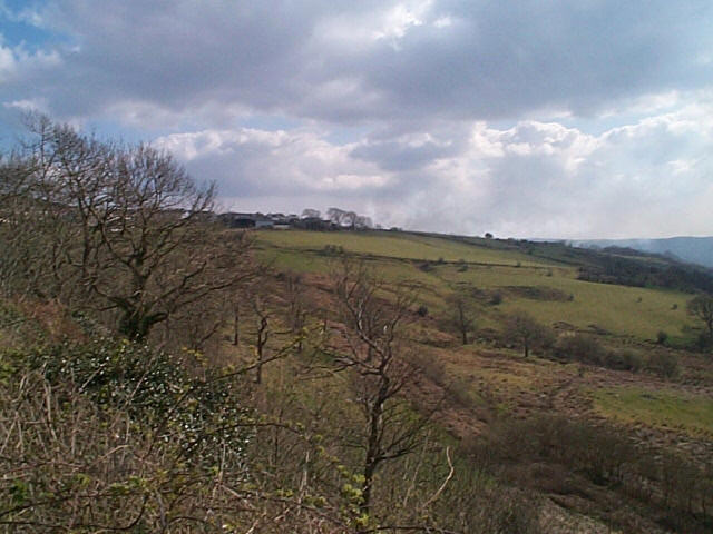
(Photo: GGAT HLCA036)
Post-medieval enclosure below Cilely Farm.
The historic landscape area of Cilely and Rhiwgarn lies predominantly outside the Rhondda Special Historic Landscape and comprises an area of enclosed upland on the western flanks of Mynydd-y-Glyn. The focus of the area is the abandoned farmstead of Rhiwgarn, surrounded by largely relict small irregular enclosures, probably representing an area of medieval or early post-medieval encroachment. The area is probably an outlying part of the possible medieval settlement site located further south, outside the Rhondda Special Historic Landscape at ST 0259 8973.