Historic Landscape
Characterisation
Merthyr Tydfil
069 Cwm Glo, North
HLCA 69 Cwm Glo, North Area illustrates earlier agricultural/settlement lands cape; religious, funerary and ritual landscape; early nonconformist chapel; historic and religious associations; industrial extractive and water management and drainage features.
Summary
An agricultural/settlement landscape with strong historic and religious associations, centred on the later 17th century non-conformist Meeting House at Cwm-y-Glo.
Historical background
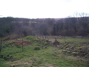
The historic landscape area of Cwm Glo, North comprises an area less affected by industrial incursion than surrounding area, particularly those to the to the south (see HLCAs 064 and 070). The area retains farmsteads/cottages (Cwm-glo and Llwyn-yr-Eos) associated agricultural enclosures, meadowland and animal pens. Perhaps its most important feature is the site of the late 17th century Dissenters' Chapel, originally established at a nearby barn. The congregation was that formerly established c 1642 at Blaen-canaid Farm, the first permanent chapel at Cwm-y-glo being erected in 1689 following the Toleration Act of the same year. The Chapel at Cwm-y-glo was associated with a number of important early non-conformist preachers such as Vavasor Powell (conjecture only), Henry Maurice (fl. 1672-1682), Roger Williams (fl. 1698-1730), assisted by James Davies of Llanwrtyd, and from 1730 Richard Rees of Gwernllwyn. This building, the original 'Hen-dy Cwrdd' was abandoned sometime around 1752 following the split between Calvinism and Arminianism until then expounded from the same pulpit. Theological differences between Rev James Davies, a traditional Calvinist and Rev Richard Rees who replaced Rev Roger Williams and who expounded a more modern school of thought, lead to the initial split in 1747, when Armenians who lived on the Merthyr side of Aberdare Mountain established Hen-dy Cwrdd at Cefn Coed-y-Cymmer (HLCA 055). Two years later, the Armenian congregation from Aberdare established Hen-dy Cwrdd at Trecynon, while the remaining Presbyterians left for Ynysgau, Merthyr in 1752.
The industrial remains of the area comprise old workings at Cwm-glo and spoil tips of 19th century date, a platform and shaft complex at Factory Cottage, and the post-1905 tips associated with Cwmdu Drift Mine. Other notable industrial features are the reservoirs and leats at Coedcae, supplying water balance systems at adjacent pits.
