Historic Landscape
Characterisation
Merthyr Tydfil
034 Thomas Town (West)
HLCA 034 Thomas Town (West) Urban industrial development:
linear tramside settlement with later regular linear grid additions of
predominantly middle-class housing; 19th century public and religious
buildings
Click here for a
character area map
(Photo: GGAT Merthyr 034)
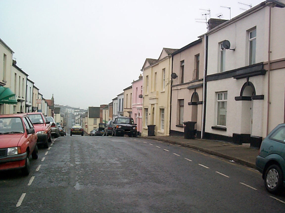
Thomas Town (West) character area: late 19th century urban extension
originating as tramside settlement.
Summary
Thomas Town began as a linear tramside settlement in the first quarter of the 19th century, but its present appearance is predominantly that of a late 19th century urban extension of Merthyr Tydfil. The area is characterised by terraces of substantial artisan and middle-class housing, semi-detached and detached villas, and public buildings such as St Tydfil's Hospital and the Union Workhouse. It is now largely designated as a Conservation Area.
Historical background
While urban development of Thomas Town (West) began with the construction of early industrial terraced cottages at Cobden Place, along the east side of Tramroad Side (ie the Penydarren Tramroad HLCA 019) by 1814, the bulk of the settlement belongs to the latter half of the 19th century.
Between 1836 and 1850, the area remained unchanged. Adulam Independent Chapel and the terraced rows of cottages to the south along Tramside Road, including Cobden Place were all in place before 1836, while cartographic evidence of this date indicated the proposed site of the New Workhouse and the New burial ground to the north opposite the Welsh Methodist Chapel at Pontmorlais.
The settlement at Thomas Town was constructed during the period 1851-56. Cartographic evidence (OS 12-inch 1st edition of 1876) illustrates that terraces extended along Tramroad Side to the north of the Pontmorlais Cemetery. The area comprised linear grid pattern of terraced streets: the parallel terraced streets of Thomas and Zion Streets and Bryn-teg Terrace, aligned roughly north-south, together with Church Street (notable for its chapels and synagogue), New Castle Street with its chapel, Alma Row (Alma Street) all aligned east-west. Large semi-detached and detached villas all set within their own substantial gardens had been constructed on the hill to the east of the terraced core, and included Primrosehill House, the Bryn-heulog Villas, Springfield Villa and Bryn-teg House.
The cross-shaped Union Workhouse, and its imposing entrance were in place by 1876 as was Pontmorlais Cemetery with its mortuary chapel and the adjacent Infirmary.
The houses of the area (many of which are listed structures) are two-storey, rendered with simple classical details and a sense of unified composition. The large villas, such as the Rectory, Sunny Bank Villa, Bryn-heulog and Springfield (all listed grade II), are interesting Regency style buildings invariably stucco fronted and hipped-roofed. Prominent buildings of the area include St Tydfil's Hospital, Upper Thomas Street (listed grade II), built as the Union Workhouse in 1853 by Aickin & Capes of London, its main block in decorated style dated 1870. Within the forecourt is a bronze statue of Sir WT Lewis, Lord Merthyr (Thomas Brock 1898; listed grade II). Large yellow brick ranges to the north were built as the workhouse infirmary 1896-1900 by EA Johnson. The area also contains significant religious buildings such as the oldest purpose-built synagogue in Wales of 1872-5 in simplified Gothic style at the head of Church Street and Shiloh Welsh Wesleyan Chapel, also Church Street, in the Neo-Romanesque style (1853, thought to be by IK Brunel).