Historic Landscape
Characterisation
Merthyr Tydfil
021 Clyn-Mil and Wernlas Opencast Area
HLCA 021 Clyn-Mil and Wernlas Opencast Area Late 20th century
open cast and reclamation: previously characterised as an area of intensive
coal and iron ore workings of 19th century date, with industrial transport
and water management features.
Click here for a
character area map
(Photo: GGAT Merthyr 021)
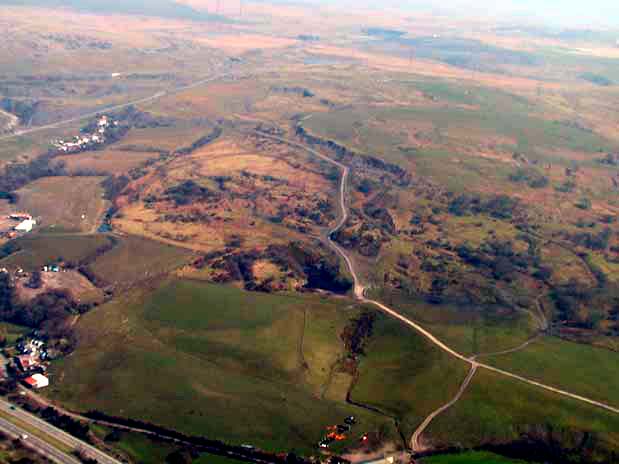
Clyn-Mil and Wern-Las Opencast Area character area: former ironstone
and coal workings removed by opencasting and reclamation.
Summary
An extractive landscape, formerly characterised by extensive ironstone and coal workings with their ancillary features, engine houses, air shafts, leats and reservoirs etc, dating mainly to the second half of the 19th century. In the last quarter of the 20th century these were removed by opencasting and reclamation, and the area has been restored as farmland.
Historical background
The historic landscape area of Clyn-Mil and Wern-Las Opencast Area formerly comprised the core area of ironstone and coal workings associated with Anthony Hill and the Plymouth Iron Company; the pits of the area in operation before 1860. The area included Graig Pit (Wern-las no. 1), Wern-las Pit, Ellis Pit, Clyn Mil Pit (No. 2) and Clyn Mil Pond. In 1813, Iron Mines are indicated, just to the north within the Cwmblacks/Pencoedcae area, by the 1820s tramroads and inclines connected the Plymouth Iron Works with various workings both within the area and beyond. These included ironstone levels and patch workings within the adjacent areas to the north and east (HLCA 022 and 023) and workings within Cwmblacks. The Clyn Mil Pond, serving the Iron Works had been extended to form three parallel ponds by 1850, though only a single pond was extant by 1875. The cartographic evidence indicated that an upsurge in mining activity had occurred during the period 1850-1875, if not before. By 1875, the pits of the area were well established and numerous other industrial features such as levels, quarries, engine houses, airshafts, part of a system of leats and reservoirs and at least one aqueduct were in evidence.
By 1901/1905 many of the smaller workings of the area had become disused and during the last quarter of the 20th century these were removed by opencast and reclamation. The area has now been returned to agricultural use.