Gelligaer
004 Eastern Enclosed Common
HLCA 004 Eastern Enclosed Common
Distinct field boundaries; place-name evidence; enclosure; post-medieval mining and small quarries. Back to Map
Historic Background
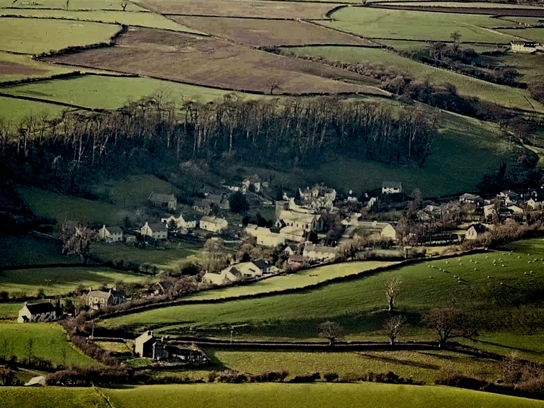
The historic landscape character area of the Eastern Enclosed Common is similar to the western enclosed common and is characterised by a gently rolling plateau area of enclosed improved pasture with loosely dispersed farm settlement, some of which is derelict. The encroachment of organised enclosure onto the open common had occurred by the late 18th century and the development of settlement pattern probably mirrors that of the Western Enclosed Common (HLCA 003). However, there is an absence of known early settlement or relict archaeology in this area, though the place name evidence of Tir y Felin and Maerdy suggest that further survey would be beneficial. Maerdy or 'mayor's house' may be associated with the documented demesne manor of Eglwyswladus in character area HLCA 002 immediately to the south. In the southern part of the area on either side of Nant Twp former mines and disused levels exist, though their origin is currently unknown. This southern area has also attracted small scale quarrying for Pennant sandstone.
Historic Landscape Characteristics
The area is characterised by its enclosed pastureland, which had formerly been open upland common, and the small loosely dispersed farm settlement. The field boundaries are of the clawdd type though chronological progression to large dry-stone walling is discernible. The southern end of the area contains evidence of former mining activity and the place name of 'Maerdy' may be associated with rare Early Medieval occupation in the area.